Following on from our previous post, this time we will introduce Shasta's jewel spot, Headwaters of the Sacramento River, where you can draw sacred water, and the spectacular Spring Hill Trail hiking course that starts nearby

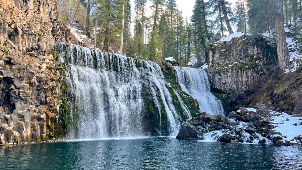
The Sacramento River Headwaters is the source of the Sacramento River
It is famous as a place where you can collect and drink Shasta's natural spring water
Many people, both locals and from all over the country, come to collect this clear water, bringing their own water bottles. Some people even call it "holy water."
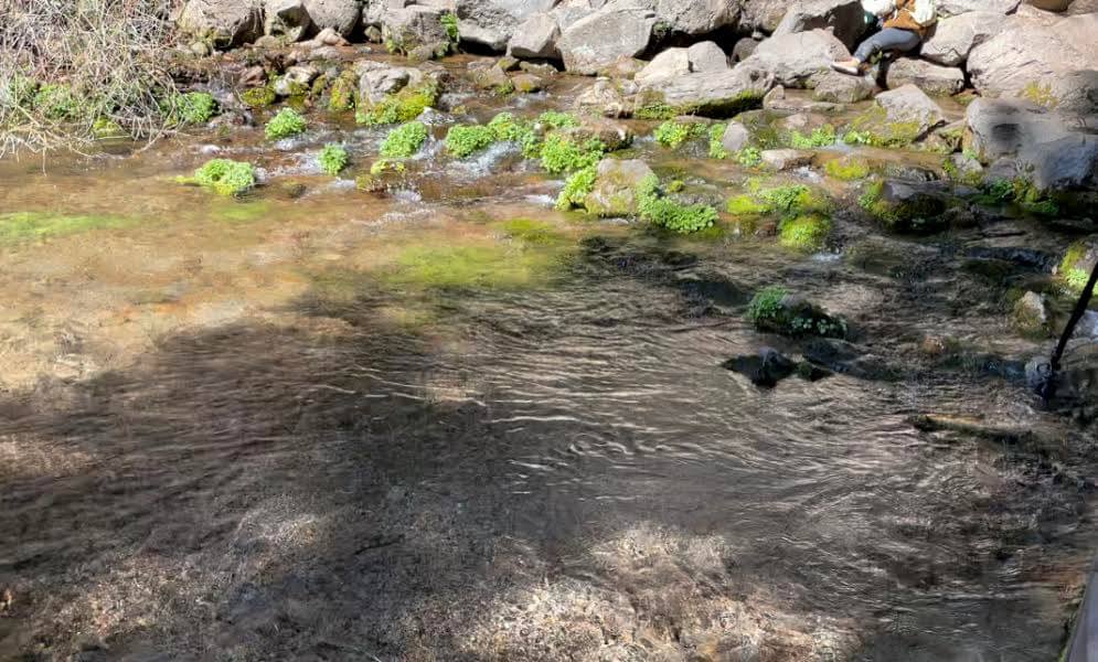

The underground spring water flows into the river through lava tubes, caves created by past eruptions. The water here is so delicious that not only locals but also people from far away drive in to collect it

There is data that shows that the water we drink in Shasta has actually been filtered over the course of 6,800 years, and this has also been shown in research results, especially from Crystal Geyser, which bottles Shasta water
It is said that rainwater and melting snow seep into the ground, are filtered over many years, and flow to the surface, carrying minerals from the rocks
The water that flows through this process is said to contain almost no nitrite nitrogen, and is said to be good water that allows oxygen to circulate throughout the body

Headwaters of the sacramento river
Address: 057-791-110, Mt Shasta, CA 96067 Mount Shasta City Park
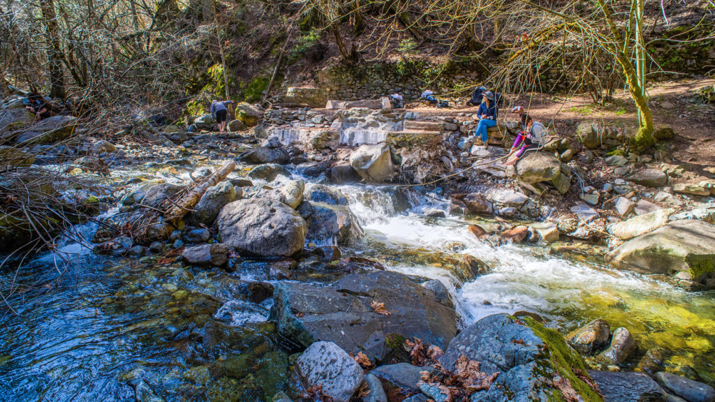
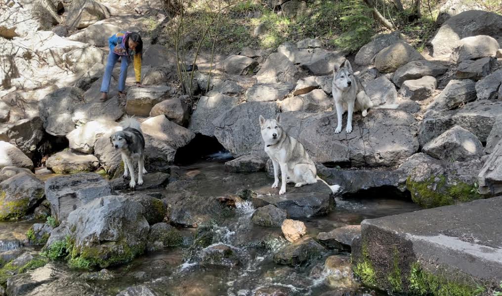
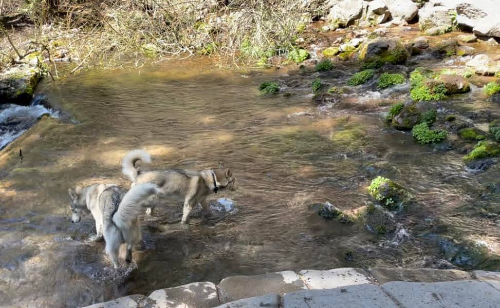
It's a place that can be reached within a five-minute drive from the city center. Of course, it's free. It's a place where you can casually feel the blessings of nature. There's a park right next to it, and on holidays, people come here to have lunch, lie down, play with their dogs, and enjoy their time in their own way
Behind the hot spring there is a path called the Fairy Trail that runs along the river, so it is a good idea to take a stroll along it
Fairy Trail: Mount Shasta City Park Meadows 1.5km
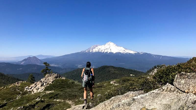
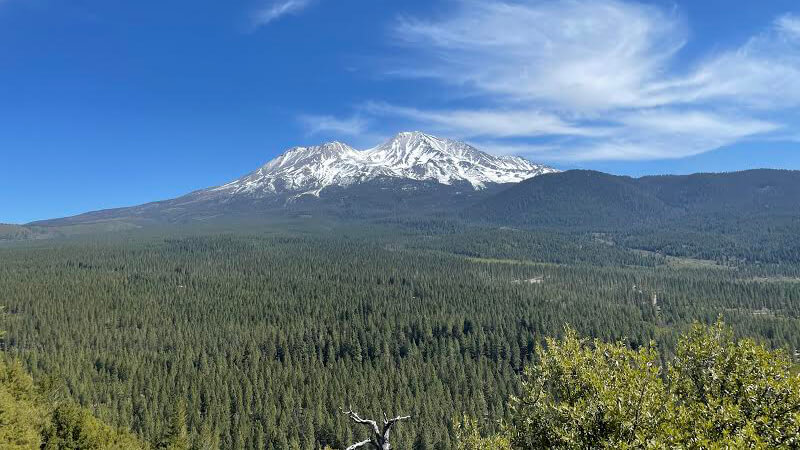
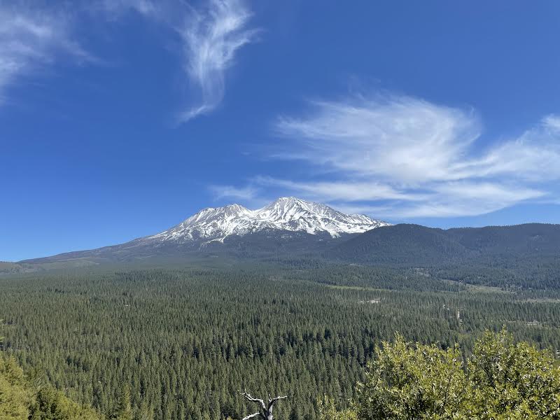
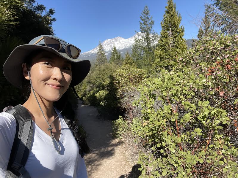
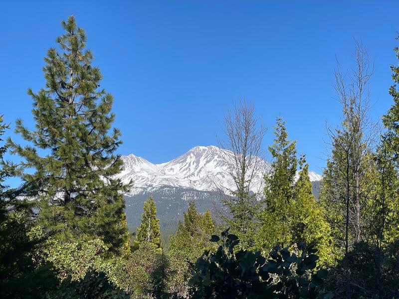
Spring Hill Trail
We'd like to introduce another hiking trail that offers beautiful views of Mount Shasta
Spring Hill Trail is a small hill located just behind the Sacramento River Headwaters area (the trailhead is a short drive from the Sacramento River Headwaters)
Spring Hill Trail (4km)
- Location: 41.3288 -122.322, Mt Shasta, CA 96067
- Trailhead altitude: 939m
- Height difference 200m
It's a 4km round trip so you'll have to walk quite a bit, but it's a great view
This trail is easy to get to from the city, and is great for hiking even in winter or early spring when snow still remains on the mountains. You can also get a beautiful view of Mount Shasta. It's an easy hiking trail
Precautions regarding the spread of COVID-19
As of September 2021, various countries are currently implementing various restrictions, including entry restrictions due to strengthened quarantine measures, restrictions on entry to national parks, and domestic travel restrictions. These conditions are subject to change without notice, so when traveling, be sure to obtain local information from each country's embassy or consulate, the Ministry of Foreign Affairs' Overseas Safety Website (Infectious Disease Risk Information), national park websites, and other sources, and check the information for transit points, the country you plan to travel to, and the areas around the places you plan to visit before making reasonable plans and taking action
Sayaka Kato

Related reading