Previous article (Chapter 4)
table of contents
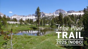
Chapter 5: Woods Creek to the Lower Basin
From the Woods Creek campsite, the climb continues. Near Twin Lakes, a breezy campsite appears. The plateau before Pinchot Pass offers excellent views. Ponds and streams dot the area, making it suitable for camping. The final climb up the pass leads to a rocky ridge.
North of Pinchot Pass, a different world unfolds, with numerous lakes, including Lake Marjorie. After a somewhat steep switchback descent, we enter among the pine trees and reach the most dangerous crossing of the Kings River. This is where Rika Morita lost her life in 2017. In years with high water levels, I recommend crossing the river without hesitation.
This year, the water level was low, making fording easy, but when it came time to climb, my legs gave out. I wanted to at least make it to the center basin, but I couldn't walk. I walked around looking for a site and asked an American hiker for some good recommendations. However, he was a very kind hiker, following me and explaining the site in detail.
Going up Woods Creek
I was tired, so I slept well and chatted with Kolohe and Paparich. We set off at 8:30. After walking a little further, we came to a water source, where we washed our towels, further delaying our departure. The trail became steeper after crossing a small stream. After about a kilometer of perseverance, we crossed a rocky tributary. This year, the water was high, so it was easy. There was a small campsite next to the stream, but it was probably just big enough for one tent, so it was for emergencies. Once we got past this point, the view finally improved. Figure 5.3 is a photo I took looking back
Beyond this point, the trail descends a little and levels out, opening up a wider area of flat ground. This is where I camped with a photographer in 2016. There were a lot of people there then, but today there was no one there. It was a little after 9 o'clock, and American hikers tend to be late risers, so it was strange to see no one there
A short walk from this site, you will see a small waterfall on your right, where the trail turns left and climbs higher on switchbacks
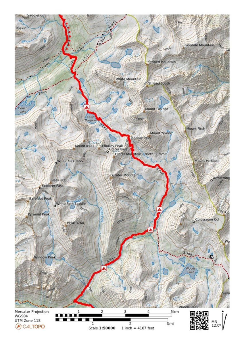
Figure 5.1: Woods Creek to the Lower Basin
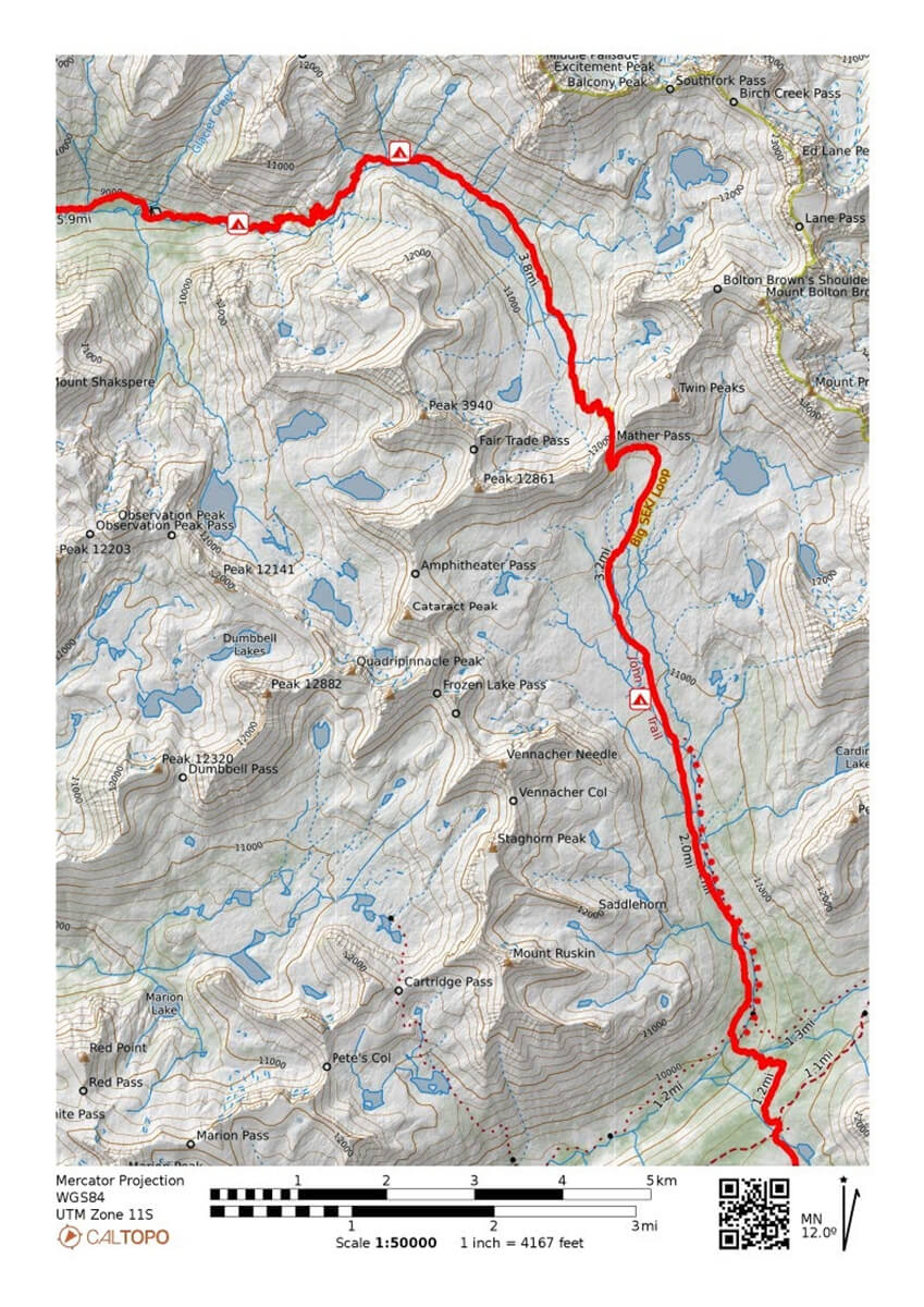
Figure 5.2: Lower Basin to Mather Pass

Figure 5.3: A few kilometers up Woods Creek, we reach our first large campsite
It was 2012. Chieko and I had camped at a campsite a little further up the mountain, and were heading back down
"Your companion seems a little tired."
"I agree."
It was obvious, but it was too late to tell me now, so I thought, "Well, what can I do?" After walking for a while, we came to a steep switchback, and Chieko collapsed in front of me. I remember moving to the shade of a pine tree near a small waterfall, putting on tape, and taking a long rest. Chieko regained her strength, and that year we summited Mount Whitney, and walked through thunder to Whitney Portal, completing our section hike. After completing this switchback, the trail became a little gentler. Two familiar hikers came walking up ahead. "Low gear, low gear," they said. Looking closely, I saw Aaron and his friends, whom I'd met in Onion Valley. I'd emailed them a photo, so they seemed to know the name of the trail. I took another photo, shown in Figure 5.5. I don't know where they passed me, but I think they were hiking from Onion Valley to Pinchot Pass and back
We soon arrived at the spot where Chieko and I camped in 2012. The view from there is shown in Figure 5.6. The vegetation in the background is exactly the same as it was in 2012, except that the dead trees are gone
The reason why I pitched my tent here in 2012 was because there was a campsite above here, and many tents had been set up there. I couldn't pitch my tent there, so I pitched it in a spot that was sticking out. This year, of course, there was no one there. The trail climbed through the forest for a while. In places, the grass was thick and the campsites were located where water was easily available. It took a while as the climb was steep
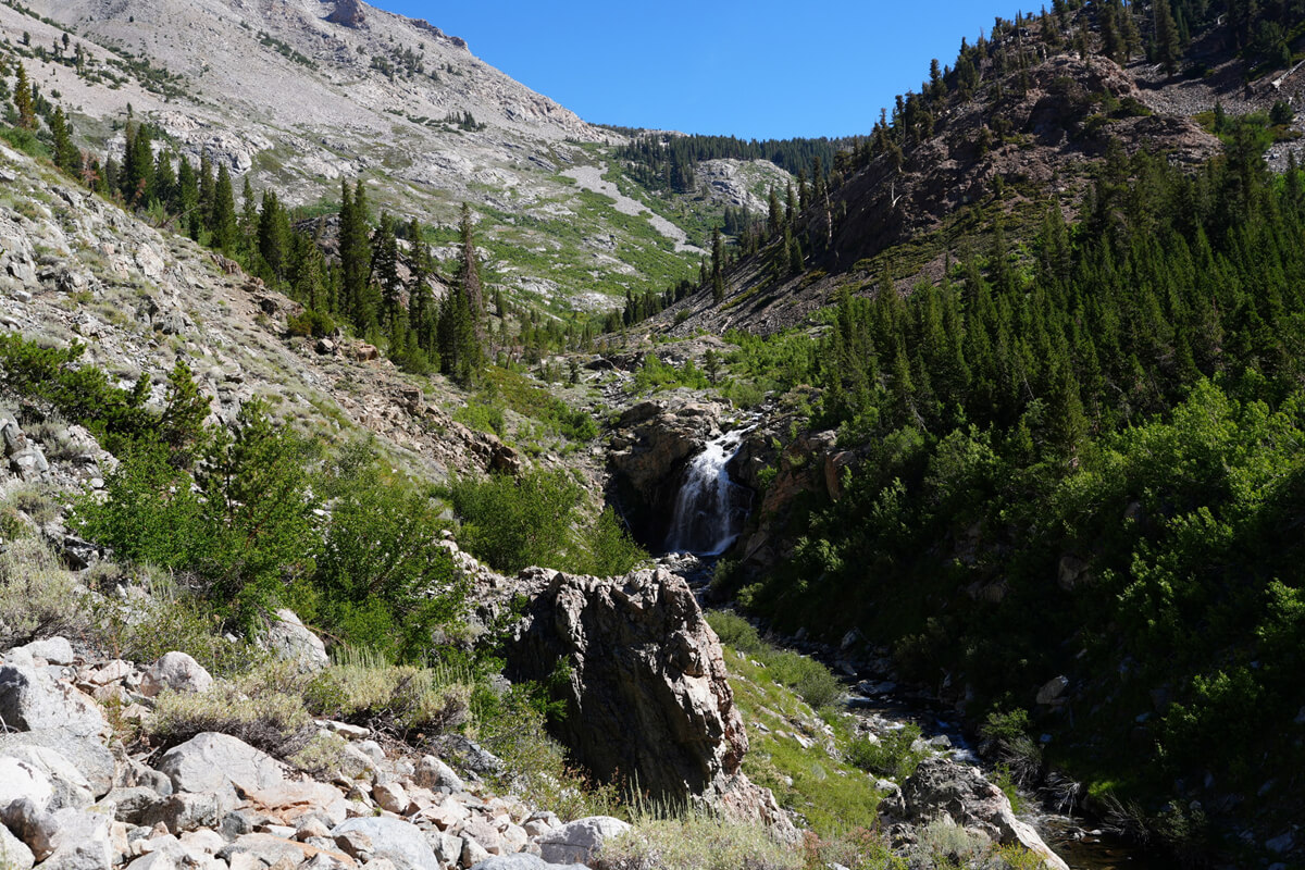
Figure 5.4: A small waterfall. Chieko fell on this switchback in the upper left
Figure 5.5: Reuniting with Aaron and his friends
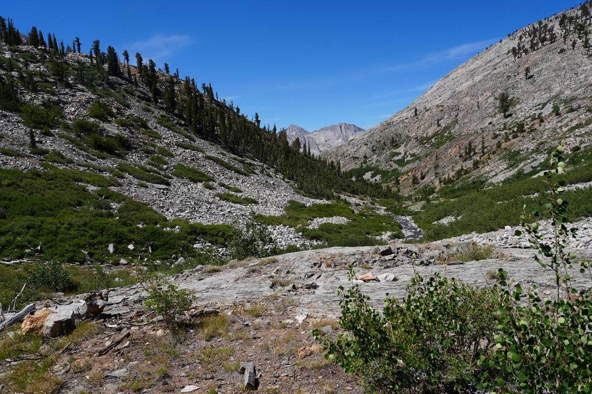
Figure 5.6: View from where we pitched our tent in 2012
At 11:30, I arrived at a spot with a good view. There was also a fallen tree to sit on. I had lunch on the JMT, consisting of bread and instant coffee. I set off just after 12 o'clock, and after walking for about 30 minutes, I came to a familiar spot. There was a small campsite with a stream running through it. I saw two hikers crossing the stream. From their backs, I thought it was Kolohe and Paparich, but they were a little ways away, and there was no need to call out to them. So I put down my backpack, went to get some water, and filled a water filter with 1 liter
After this, the slope becomes gentler and the trail forks into Sawmill Pass. A sign indicates that the trail is not maintained. The trailhead with an easy permit is a difficult trail, so be careful
The trail rises to a plateau. Twin Lakes is ahead on the lower right, but it is not visible from the trail. There are several good campsites without having to go down to the lakeshore. One of them is my favorite, shown in Figure 5.8. I have camped there many times. However, this year, I noticed that there were more fallen trees, making the area look a little desolate
A little further north, there is a stream. This year it was almost dry, but it still flows. A popular site is behind the tree on the left. There was a rare female hiker there. She may have just been taking a break. It was still before 3 o'clock

Figure 5.7: Crater Mountain, with its many peaks
The trail becomes a small ridge path. There is a small stream on the left, but it is quite far away. Crater Mountain also comes into view. It has four peaks and is characterized by its brown rock face. A pond comes into view on the left, but it is far away, so I don't think I'll pitch a tent there. There is a campsite along the trail, but there is no one there, perhaps because there is no water this year. There is a place where a small stream flows out from the north of the lake, but this year it has dried up
It was already past 3:30. I had no choice but to head for the trailhead of Pinchot Pass, but as usual, my legs stopped moving. I walked slowly. A hiker came down the mountain, so I asked him for directions to change my mood
"Is there water up here?"
"There is. There is running water. Almost there."
"Thank you," I said, but in fact I was referring to the small spring at the foot of the climb. I thought it was probably still fresh, but I was getting a little tired. A small stream was flowing in the low area on the right. I searched for a spot on the bare ground that was roughly level. I found one that looked like it. I was tired, so there was no point in pushing myself. I set up the tent at 4 o'clock. There was still sunshine, but it wasn't too strong. The view wasn't bad either. It was a nice spot
James made a weak statement
"I felt old crossing Donohue Pass. What am I going to do? I'm going to camp here for the night."
"Slow and steady. There's no other way."
No matter how ultralight you are, it won't make you more resistant to altitude sickness. It just makes things a little easier because your luggage is lighter. At high altitudes, you have no choice but to walk slowly
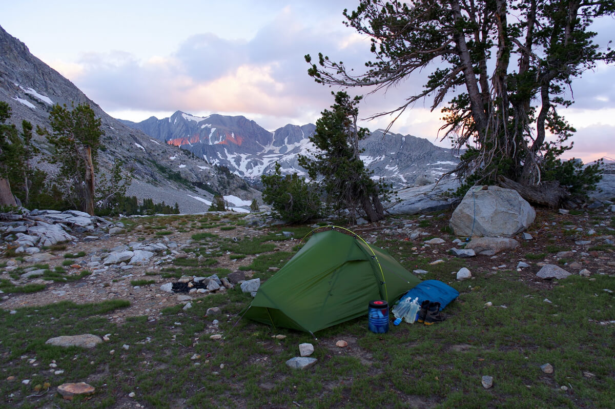
Figure 5.8: My favorite spot above Twin Lakes. Unfortunately, the tree had died and fallen. Photographed in 2017
Figure 5.9: Approach to Pinchot Pass. Just over 10m to the stream

Figure 5.10: The camera was placed on a bare canister and left facing up. Photographed using a smartphone remote control. It was set to program auto, but the shutter time was about 30 seconds. Photographed in 2022
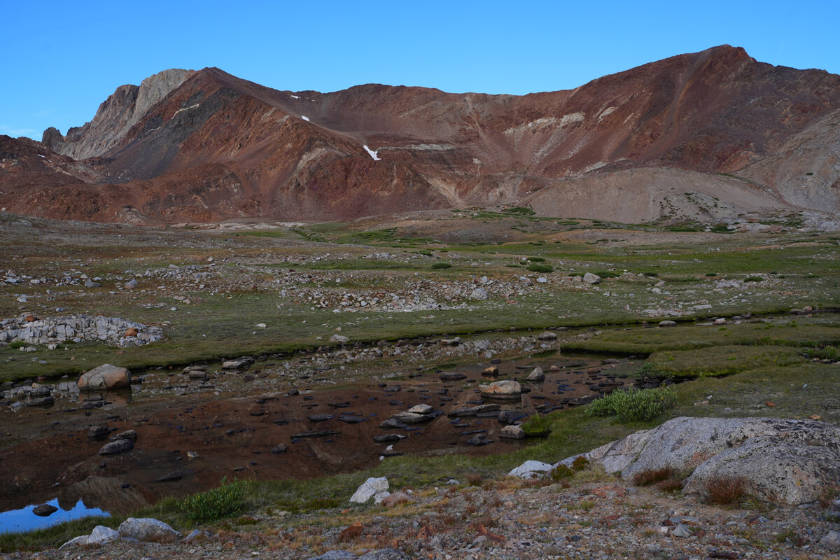
Figure 5.11: Crater Mountain's North Peak and Main Peak
"Have a pleasant evening"
James greeted me. For dinner, we had a mirin-yaki set meal, with dried fruit for dessert and some persimmons for snack. Just as James said, I slept soundly and had a comfortable night's sleep
I woke up at 5am. I had my usual breakfast of JMT bread, prunes, mango and cheese. I made a big morning cup of coffee, enough for two cups, but it only took a little effort. I set off at 7am
Across Pinchot Pass
The climb is easy, a gentle plateau-like incline, but it's long and takes time. It took about an hour and a half to finally reach the trailhead. The rocky ridge begins, and on the left, you can see the northern and main peaks of Crater Mountain. They're brown mountains. Nearby is a marshland, called a tundra. I'd thought tundra was a Siberian term, but hanging out with the Shroomers, I learned it's a general term for high mountain marshes. Near this tundra is a flat, bare patch of land. Camping in 2022 was fantastic (Figure 5.12)
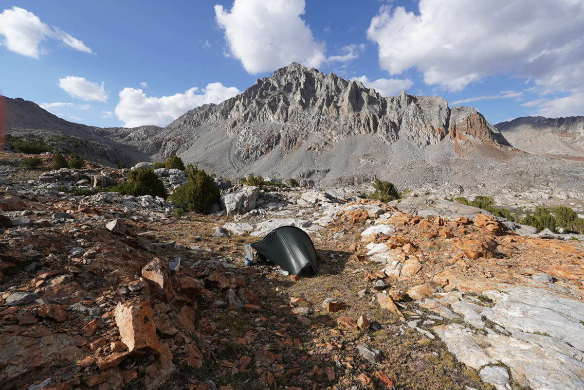
Figure 5.12: Pinchot Pass at the bottom, Mount Winn at the top. Photographed in 2022
The trail to Pinchot Pass is well maintained. The climb involves repeated switchbacks, but there is a huge rock near the trailhead (Figure 5.14). It's a long way to the pass. Because I walk slowly, several hikers overtake me. I arrived at the pass at 10:15. There were still two other hikers on the pass, so I had plenty of time to take commemorative photos. Figure 5.15 shows the view south from the pass. My starting point was far downstream from the lake
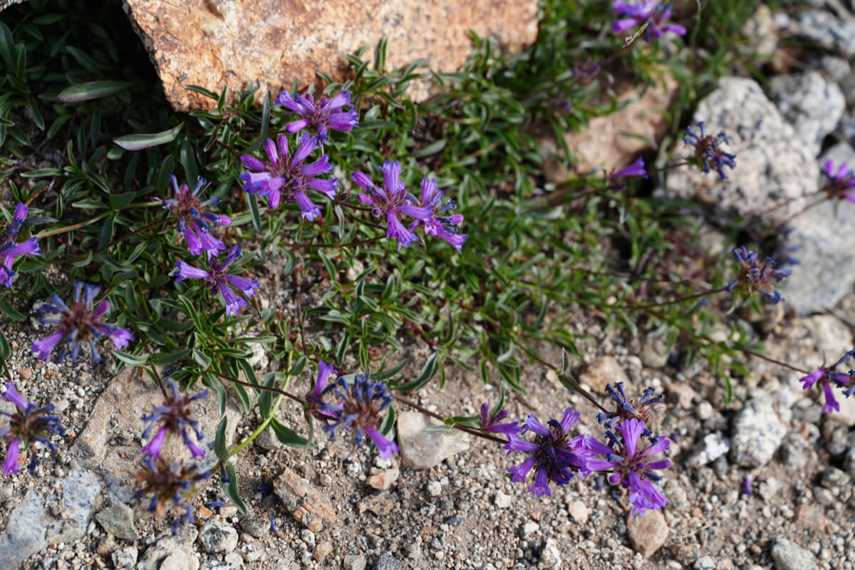
Figure 5.13: Penstemon, blooming in the shade of high mountain rocks
Perhaps the most important person I met at Pinchot Pass was Bob Shaver. In 2016, he was at the pass with his son, recreating and videotaping the actions of about 30 years earlier. Even Americans don't get to do the JMT multiple times. I later met Shaver at the Kings Canyon River crossing and again beyond, but I couldn't fully talk because I was accompanied by a cameraman. Later, he introduced me to JMT bread on his blog, and he had a hobbies of cycling and knife making, which is unusual for an American. I thought we were close, but strangely, I never took a photo of him, so I used a composite image
After taking commemorative photos, we headed down. The distinctive reddish-brown mountains on the left were Crater Mountain and Ow Badi Peak. The nearby lake was unnamed, and the large lake beyond was Lake Marjorie
I started to get tired just before Lake Marjorie. It was 11:30. I stopped for lunch at a stream flowing into the lake. There were many campsites around the lake, but few shady spots. There weren't many good places for lunch. I also camped out, but all I could see was the mountains in front of me. The best place to camp was the next unnamed lake (Figure 5.19). The shade of the trees ahead and to the right was probably the best site. I pitched my tent there at least twice. The sites were small, so if you occupied one first, no one would come near you

Figure 5.14: The start of the Pinchot Pass climb, with a huge boulder
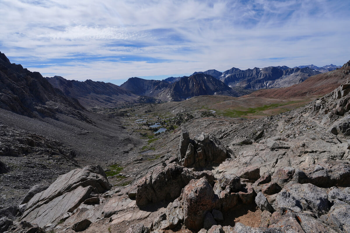
Figure 5.15: View south from Pinchot Pass
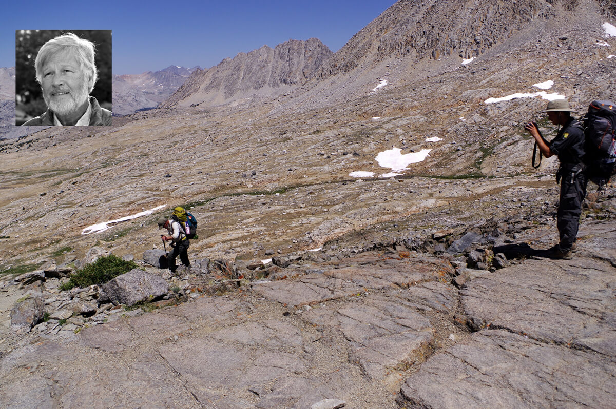
Figure 5.16: Bob Shaver reenacting an old act on video in 2016
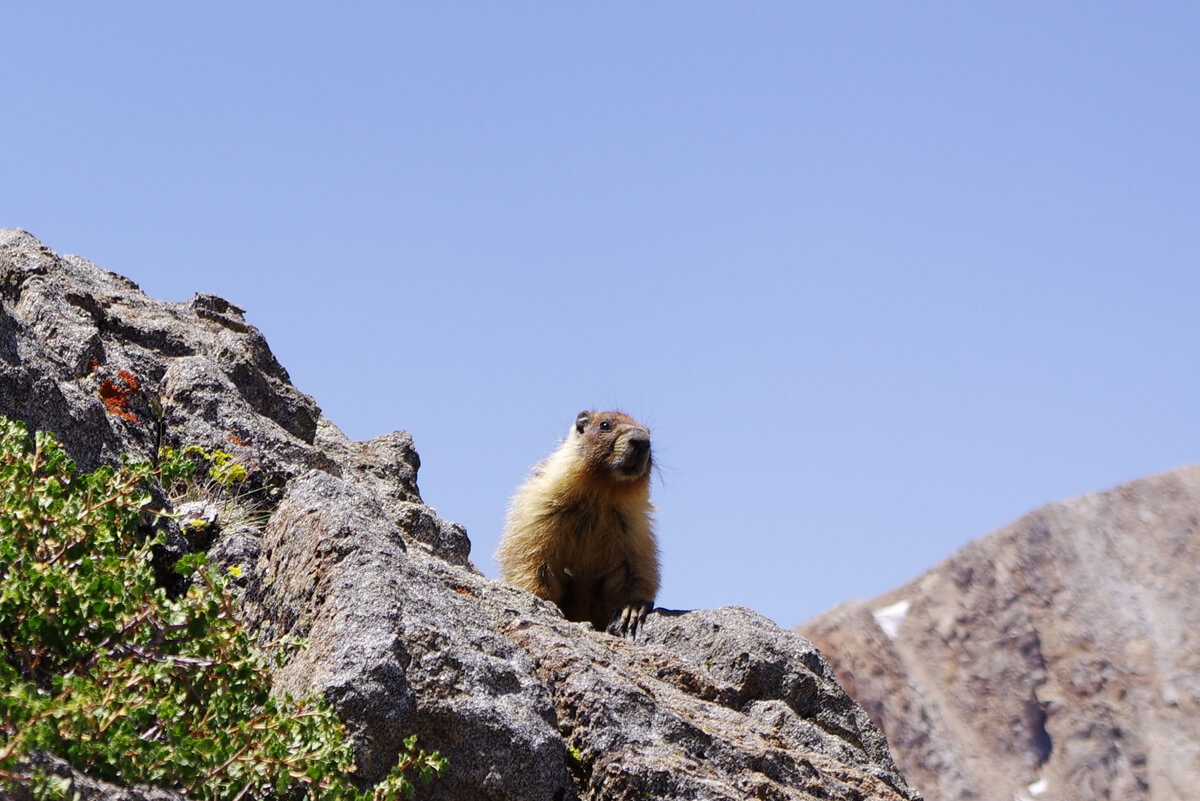
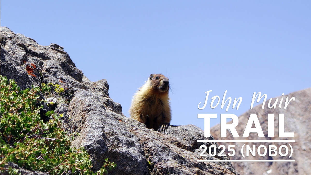
Figure 5.17: A marmot watching Bob Shaver's performance with us in 2016
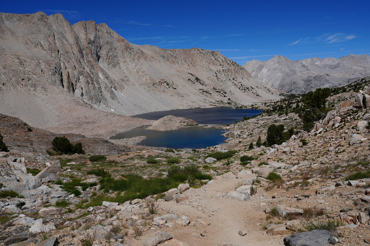
Figure 5.18: A view north of Pinchot Pass. The large lake is Lake Marjorie
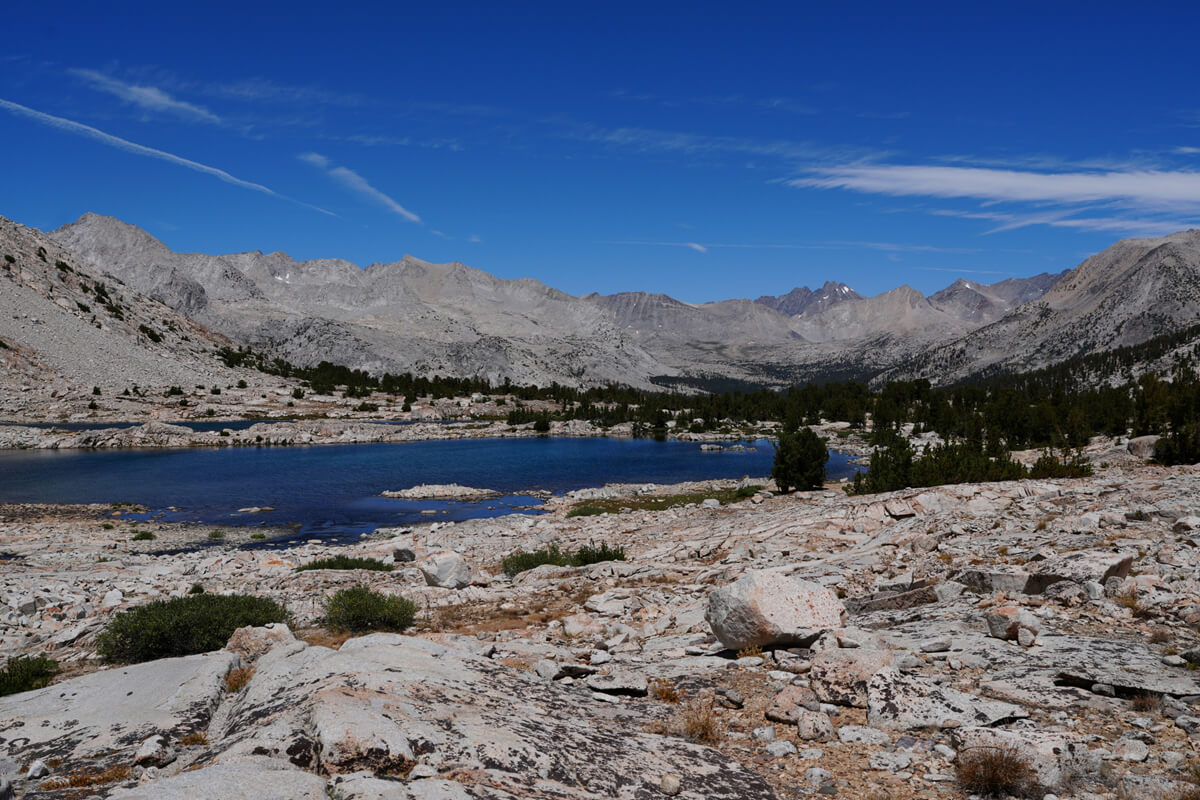
Figure 5.19: Unnamed Lake. The mountain in the distance is Disappointment Peak. The depression in the foreground is Mather Pass
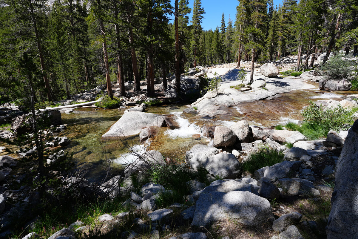
Figure 5.20: This year I was able to cross without difficulty, but in most years I end up soaked up to my knees. The water is fast-flowing and it's a dangerous place
The trail continues up a plateau-like hill, and again, an unnamed lake comes into view on the left, and a little further on, another unnamed lake comes into view. Directly ahead, Mather Pass and Disappointment Peak, which we will be crossing tomorrow, can be seen. After passing through the fork in the trail with the Bench Lake Trail, we cross a stream. A long time ago, there was an incident where a ranger went missing near Bench Lake, and it was even written about in a book. Unfortunately, I have never pitched a tent at Bench Lake
After refilling some water at the stream and continuing a little further, you will come to a fork in the trail that leads to the Tabuso Pass Trail. Tabuso Pass is a bit steep, so I don't recommend it. The Tabuso Pass Trail also forks before crossing the Kings Canyon River, but it's hard to find, and I once had a lost hiker ask me for directions. It's safer to come to this fork
The trail switches back and forth, descending steeply into the pine trees. As the switchbacks get larger, you approach water crossings. One is a tributary crossing coming from the direction of Tabuso Pass. This is easy. There's a campsite near where you crossed. The next crossing is about 20-30 minutes later, and this is where the real crossing begins. This year, the water level was low, making it easy to cross a little upstream from the usual crossing. In 2017, Rika Morita drowned near here; more on that later
After safely crossing the river, we came to a meadow where shooting stars, as shown in Figure 5.21, were in full bloom. Unfortunately, this year was dry, so there weren't many flowers. The trail gradually rose and the pine trees began to grow
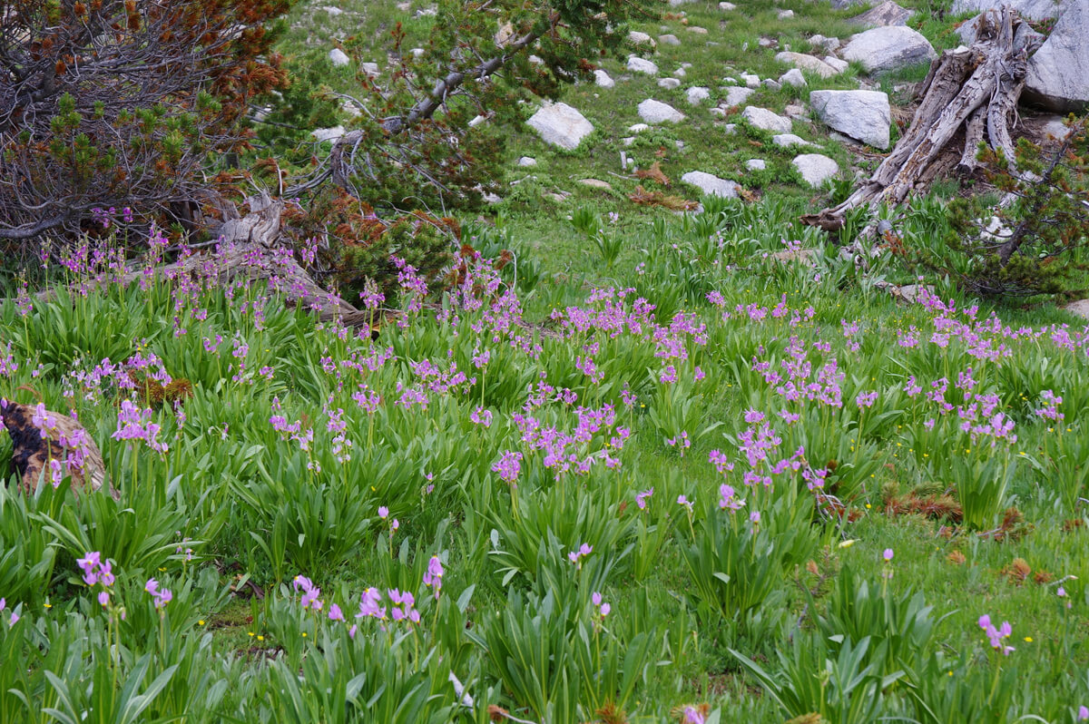
Figure 5.21: Shooting star colony, 2017
There are no trails to Tabuso Pass Trail, but there are campsites here and there. If you cross the river here, there should be a trail to Tabuso Pass, but it's not a very good trail
It was 3:30. Today's destination was Upper Basin, but tomorrow we wanted to go a little further to Mather Pass. However, I was getting tired, so I started looking for a campsite. The further I walked, the further away the river became. Bob Shaver had set up camp along the trail, but it seemed like he had set up farther away from the river. I found a spot that looked like it might be suitable, but it wasn't a particularly good one
I went a little further in the direction of the river and looked around, but couldn't find a good spot. Just then, a couple came walking up ahead. I asked the male hiker for help
Is there a good campsite up ahead?
"There's a stream about 300m ahead, but don't cross it. There's a hill on the upper left, so that's a good place to go."
Unusually, it was expressed in meters instead of feet. It seems that they assumed that Ahn was a foreigner because it was in his front pocket. Unusual
I thanked him and walked unsteadily, checking the map on my watch. 200m or 300m was quite a long way. I found a stream. Come to think of it, it looked a little familiar. Instead of crossing it, I headed up the hill on my left. It was flat and shady, and there was a spot at the back where I could pitch a tent. I leaned my backpack against a tree and left it. At that moment, I was surprised to see the hiker from earlier appear behind me
"Safety comes first, after all. I was curious and followed you. This looks like a good spot. We'll pitch our tent here, then we'll go down to the stream from the trail there and get some water. Then we'll sit on this rock and take in the view. See? Got it? OK?"
He made sure to emphasize this point. He must have thought I was extremely tired. I always walk unsteadily, and even when I'm exhausted, I don't collapse easily, but few people realize this
"Is it OK? No, it's not OK. I guess I'll just have to document the friendly American hikers. Now, stand there and take a picture."
With that, I quickly took a few photos with my camera
"Also, ok, write your name and email address here. I'm going to blog about it, so be prepared. Okay, that's good."
His name was Mitch Leonard, a very considerate and friendly American hiker. He seemed to have hiked this area many times. He had taken five photos. His photo is shown in Figure 5.22. A photo of the campsite he told me about is shown in Figure 5.23. It's a slight hill, so it's well ventilated and shady. The view is also great. The trail passes underneath, but most hikers don't notice because they don't pay attention to the top. What's more, there's a stream flowing just below. It was a very nice spot. I'd passed by it many times, but I'd never noticed it
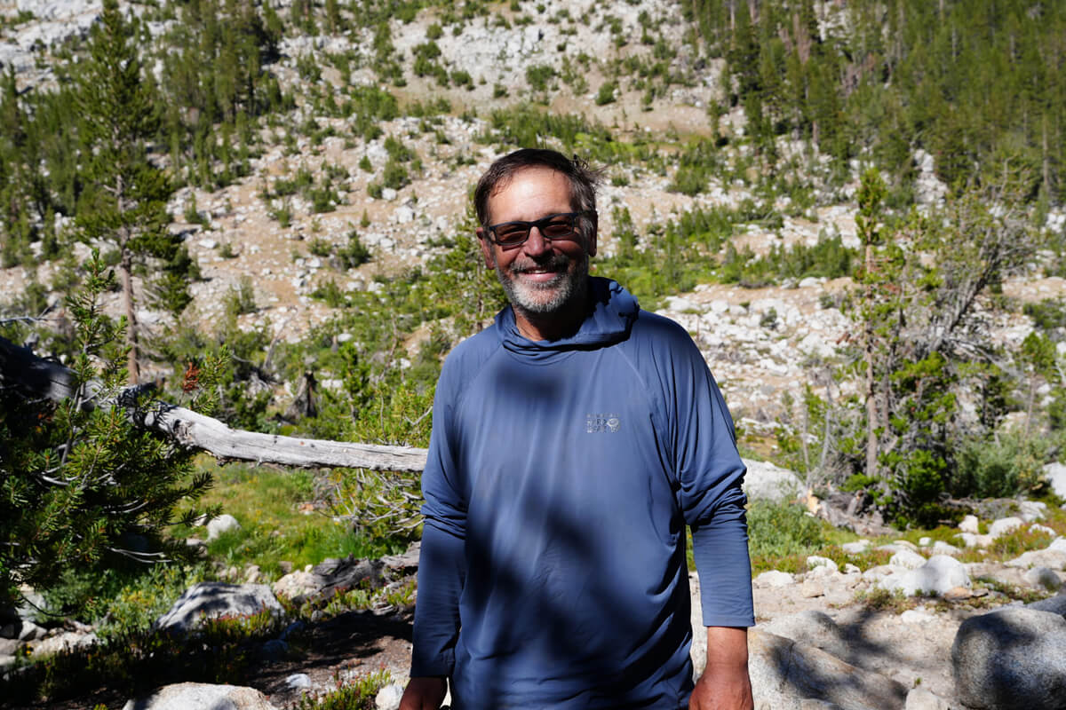
Figure 5.22: Mitch Leonard, the super-friendly American hiker
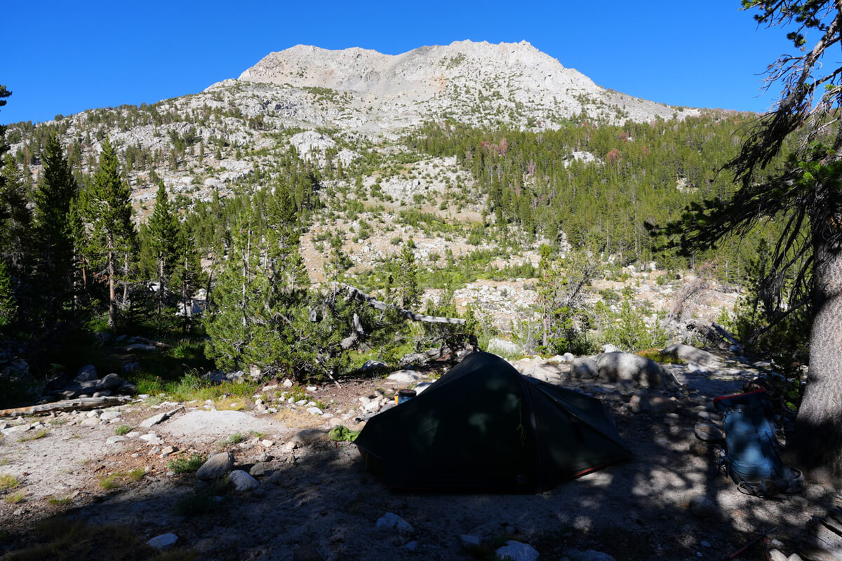
Figure 5.23: Campsite on a low hill, with Split Mountain visible across the street
In the evening, one of the Platypus was leaking water. Using the branding iron principle, I heated part of the cooker clamp on the stove and pressed it against the water. I was able to repair it, and all three Platypus were ready to use
I received regular contact from James
"We're at Ediza Lake now. It's still a long way off. It's crowded. I wish we'd pitched our tent somewhere in Shadow Creek."
Ediza Lake is a beautiful lake, about a day's walk from the Agnew Meadow Trailhead. It might be unavoidable that it's crowded. I contacted James and Chieko via MTR and told them they could go on August 10th
Cross-country route
2017 was a record-snow year, and I had a lot of trouble with it. I have no choice but to write a few negative things
I had planned to hike from Horseshoe Meadow to Sonora Pass. When I arrived at the motel in Lone Pine, I was blocked by Ted, the trail angel who helped me last year. Ted was a trail angel who only catered to Japanese hikers. He said he didn't know much about Japanese people, but for some reason, he thought I was a bad person. Anyway, I called the airline, changed my flight schedule, and decided to end my trip in Yosemite. The call took more than 30 minutes
Furthermore, he was blocked from the Japanese PCT/JMT group, and was no longer able to post or view any posts. He had vanished from my sight. This was July 18th. I was extremely troubled. The only thing I could think of was that he had been posting about routes to avoid crossing rivers due to the unusual snow on the JMT. I later learned that at this time, Rika Morita had been missing in Kings Canyon since July 8th, and the situation was hopeless. Ted had sent Rika Morita off, so he must have panicked
Many members of the Japanese PCT/JMT group are involved in mountain equipment, and if negative information is spread, fewer people will go on the PCT, which is a problem. That's why I'm in the way. Since this situation is unacceptable, I created the American Hiking Group*1 with the aim of spreading safety information. As a general rule, I ask that people who do business related to mountains refrain from joining
When I arrived at the Horseshoe Meadow campground, there was no one there. I was the only one who had set up a tent; it seemed all the other American hikers had canceled. Kurt was worried about me, so I kept in touch with him via inReach
I had heard from an American hiker that a Japanese woman had gone missing on the trail, but I didn't know the details. By chance, I ended up hiking in pursuit of Rika Morita two weeks later. Figure 5.25 shows a photo of the Kings River crossing at that time. It is the same location as the photo from 2025. Her body was discovered nearby on July 23rd. I passed by four days later. Her photo is shown in Figure 5.24. Quoted from Haskell's (2017) blog
2017 was a dangerous year, and information about routes to avoid fords was circulating among the PCT and JMT groups in the United States. I also studied the maps and marked all of the routes to avoid fords on them, bringing them with me. I also drew some lines on my own, based on my reading of topographical maps. I also drew a route to avoid fords at Tyndall Creek at this time
There is a small trail heading north without crossing the Kings River. It is similar to the footprint in Figure 5.26, but it gradually disappears. Most people cross the river a little upstream, and few go all the way upstream. It takes about two hours to reach the crossing point upstream. Heading north is fine, but there are many tributaries, so it's best to use a GPS
Since it's cross-country, there are no footprints, but it's flat and easy to walk on. After about 30 minutes of walking, you'll see a sharp rocky mountain on the opposite bank. This is Saddlehorn, as shown in Figure 5.27. After that, you'll walk over rocks in some places, but there's no need to climb. You'll need to cross a tributary, but it's not a memorable fording. After about two hours of walking, you'll come to a place where the Kings River curves west and forms a gentle waterfall. You can join the JMT here between the pine trees, as shown in Figure 5.28
*1: https://www.facebook.com/groups/592601714461418/
*2: Haskel, J. 2017 Sadness abounds with the news of more deaths on the Pacific Crest Trail. PCT Association, 2017, August 1.
Figure 5.24: Rika Morita, photo from Haskell's blog
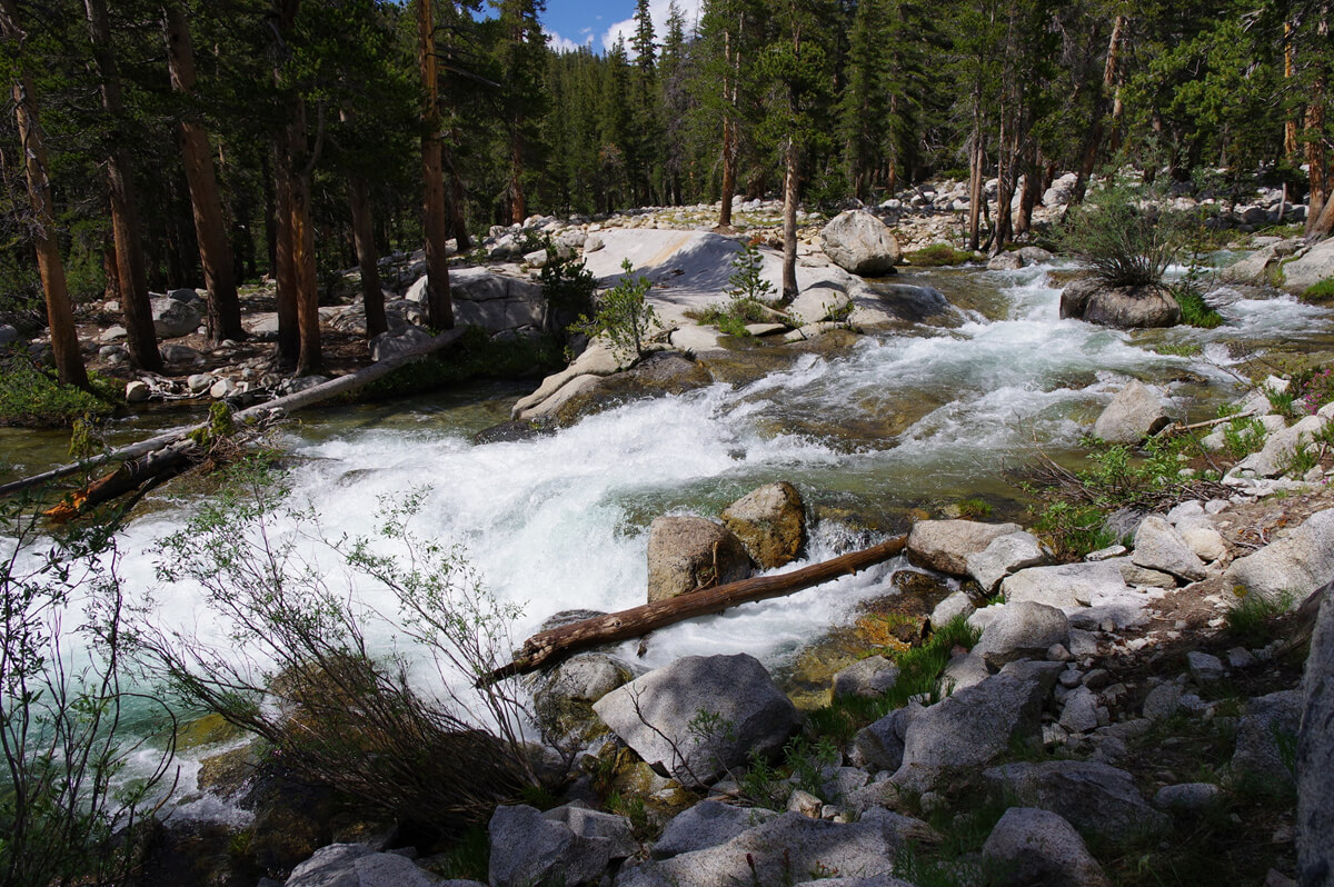
Figure 5.25: South Fork of the Kings River, photographed July 27, 2017
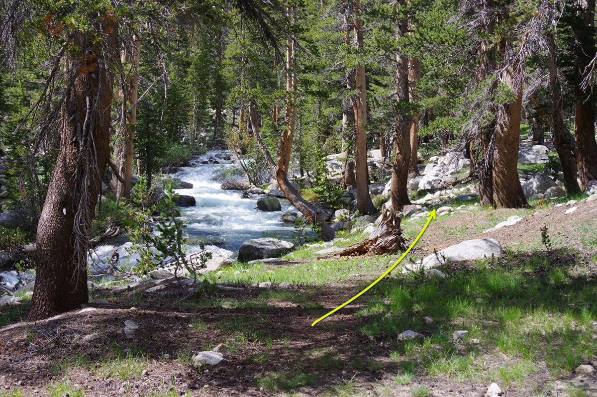
Figure 5.26: A trail a little upstream from the ford. Photographed in 2017

Figure 5.27: Saddlehorn on the opposite bank, photographed in 2017
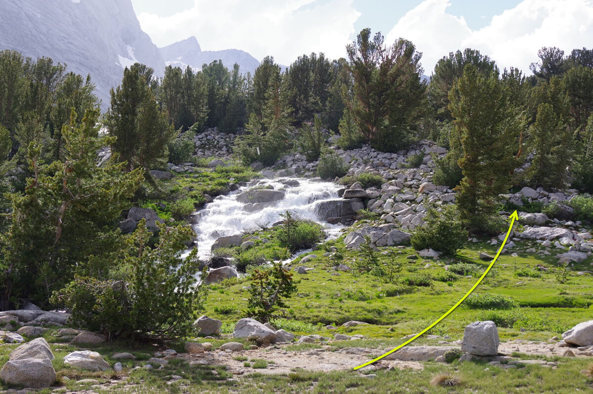
Figure 5.28: The upstream ford is in the woods in the upper left, where it connects to the JMT. Photo taken in 2017
If you are heading south on the JMT, this is the first ford. If the water level is high, it is dangerous to ford downstream, so it is best to decide to cross-country here. Once you reach the ford downstream, you cannot return, so pushing yourself too hard could lead to an accident. Cross-country is much safer
<Continued in Chapter 6>
Nobuhiro Murakami's new hiking guide, "The Science of Hiking, 5th Edition," is now available on Amazon (Kindle edition is 100 yen)
Nobuhiro Murakami, a former professor at a national university and an experienced through-hiker who continues to share rational solo hiking know-how from a unique and profound scientific perspective in books such as "Hiking Handbook" (Shinyosha) and "The Complete Guide to Hiking in the United States" (Ei Publishing), has released his new book, "The Science of Hiking," which is now available on Amazon. This compelling and logical hiking textbook is based on his accumulated experience dating back to the dawn of long trails in Japan, as well as objective sources such as academic papers on hiking, exercise physiology, and a wide range of other fields
★★Free downloads available for 5 days starting at 5pm on February 3rd★★
Please consider a paid membership to support the site while enjoying exclusive offers and content!
Nobuhiro Murakami


Related reading