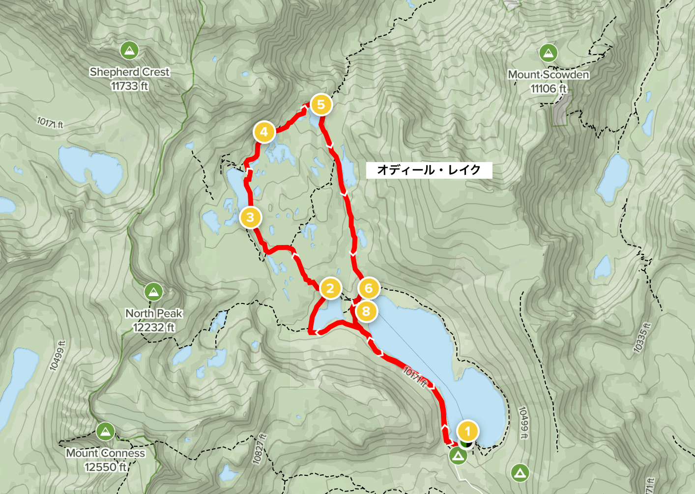
Twenty Lakes Basin Loop Trail: A wonderful trail offering spectacular views of the beautiful mountains of the East Sierra Nevada Mountains [A trip to the US National Parks (37)]
Written by Sayaka Kato
This project features authentic American tour guides introducing America's best hiking trails
This time, I'm returning to the Yosemite National Park area for the first time in a while, and I'd like to introduce the Twenty Lakes Basin Loop Trail, a scenic trail that is not within the park but is located just before entering the East Gate on the east side (outside the park)
This course not only allows you to enjoy the view of many beautiful lakes while walking, but also offers picturesque views of the East Sierra Nevada Mountains, which will captivate any hiker. It is truly a spectacular spot that represents America, a powerhouse of outdoor activities
Furthermore, the slope is not too steep and it is not at an advanced level, so this is a hiking trail course that can be recommended to beginners as long as they are in good condition
When you think of popular tourist spots in Yosemite National Park, you probably think of the area centered around Yosemite Valley and its surrounding areas. However, what I would actually recommend to hikers is the Eastern Sierra area located outside the eastern gate of the national park, along Route 120, which continues along Tioga Pass (Road)
With numerous wonderful trails, dynamic scenery, and beautiful lakes, it is a paradise for hikers and wildlife
When you get here, the number of tourists decreases and the atmosphere changes dramatically
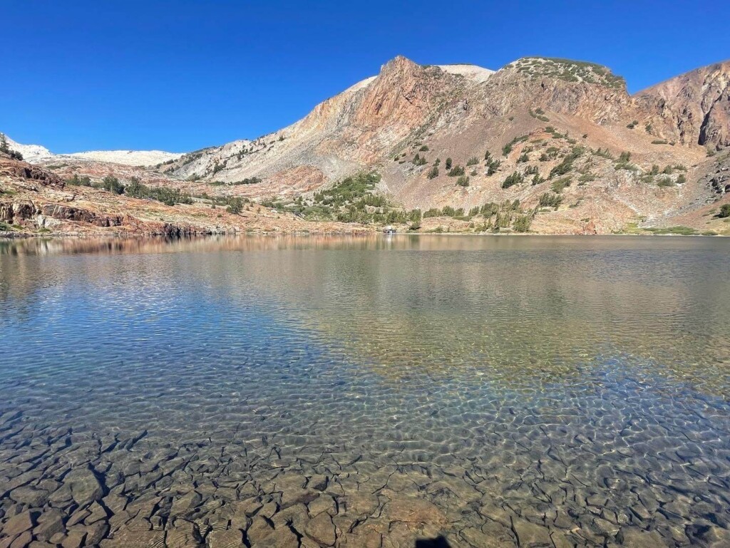
table of contents
Twenty Lakes Basin Loop Trail hiking information (Photo taken at the end of August)
Access (by car to the trailhead)
If you enter "Saddlebag Campground" into Google Maps, it will show you the address of the parking lot where the trailhead is located (we recommend downloading the map in advance as the signal is poor in this area)
This trail starts just before the east gate of Yosemite National Park, and the nearest town is Lee Vining. Lee Vining is a base point for outdoor enthusiasts, with many campsites and RV parks
If you are coming from within Yosemite Park, take Tioga Road (120 east) towards the east gate. The trailhead is located just outside the gate
Useful items to bring with you on a hike
As for what to bring, as always, prepare the same equipment as you would for a typical hike in the United States
- Drinks (larger in summer, about 2 liters)
- Temperature-adjustable winter clothing
- hat
- sunglasses
- sunscreen
- Snacks to eat during the hike
- If you have any regular medications, bring first aid such as medicines and bandages
- Plus your favorite items such as swimwear and sandals
Trail Data
- For beginners and intermediate learners
- Season: The best season is from May to September (depending on the snowfall that year, there is usually still snow remaining in May and June)
- Trailhead elevation: approx. 3048m
- Round trip: Approximately 13km (8 miles)
- Height difference: approx. 236m (777 ft)
- Course time: 3 to 5 hours round trip (including breaks)
Start hiking from the trailhead
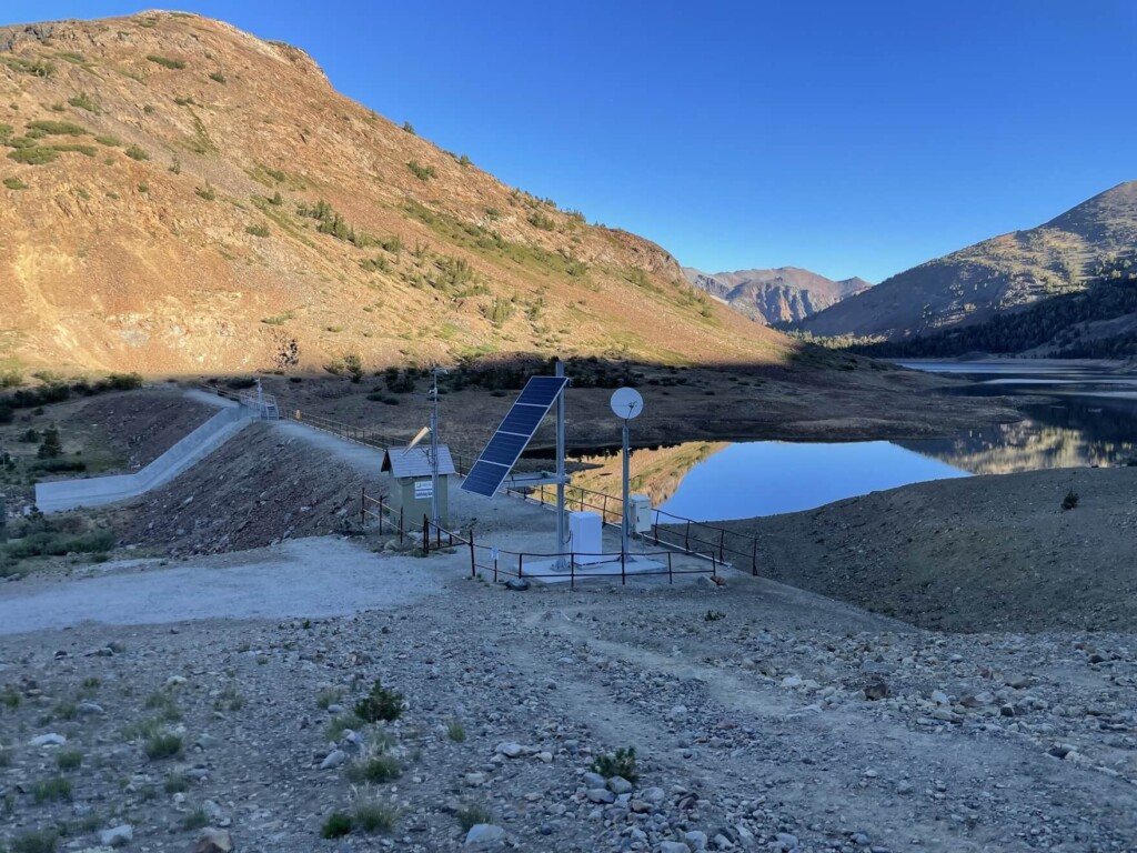
This trail starts at a lake called Saddlebag Lake
During the summer, there are water taxis (fee-paid boats) available, so you can take one to the other side and save yourself a few miles of walking. This is recommended if you have children with you (although at the time of this photo, they were not operating due to COVID-19)
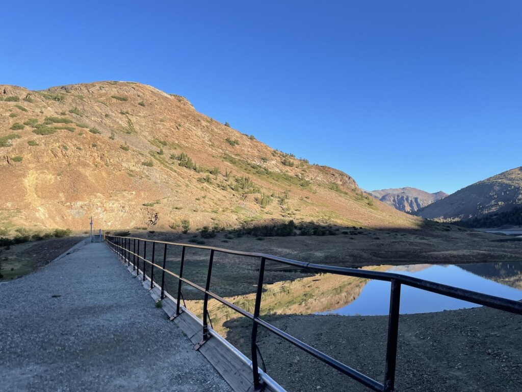
7:40 am Start hiking from the trailhead (map ①)
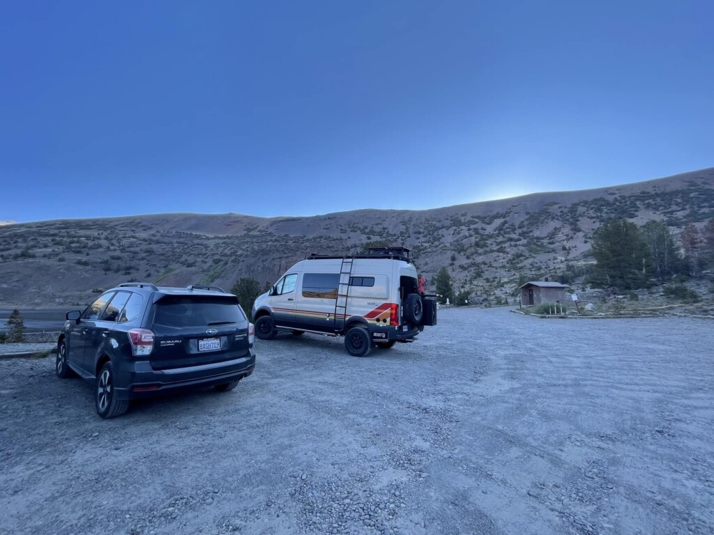
There are restrooms available. Since it's early in the morning, there is plenty of parking space. First, cross the pedestrian bridge just before Saddleback Lake and head towards Saddleback Lake
A clear, cloudless day
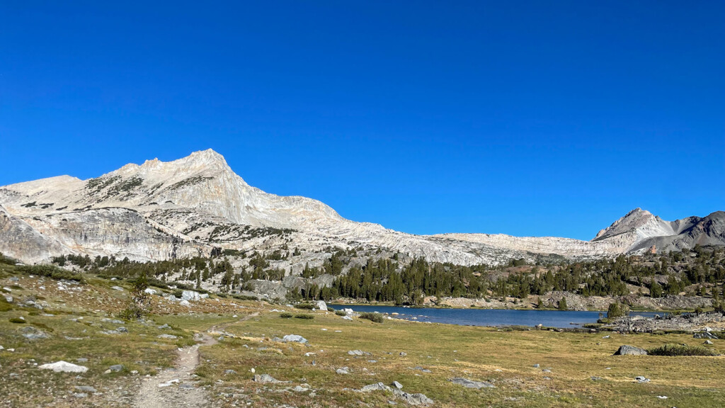
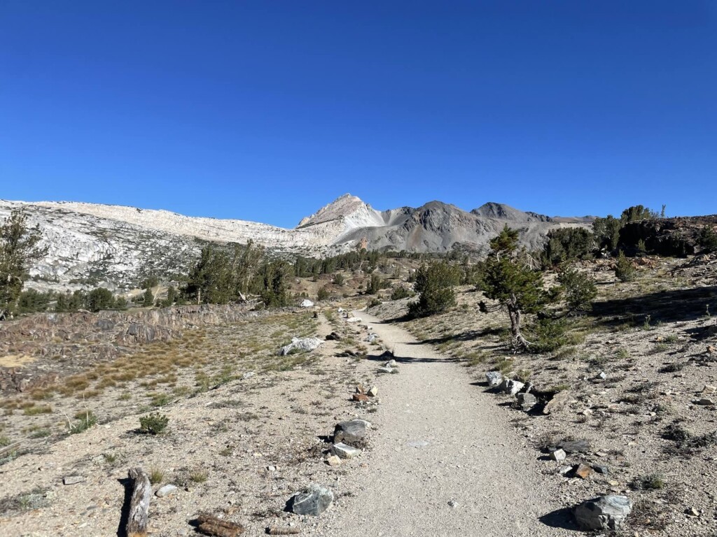
The trail continues in an easy-to-follow manner, so walk clockwise on the left side with Saddleback Lake in front of you
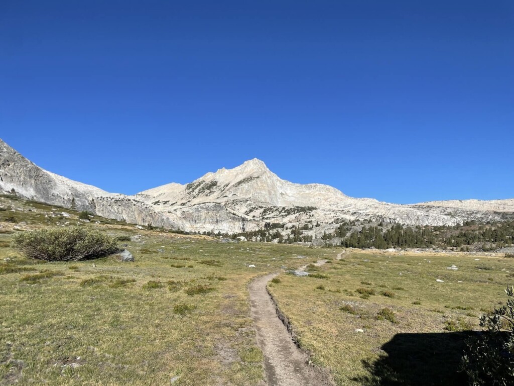
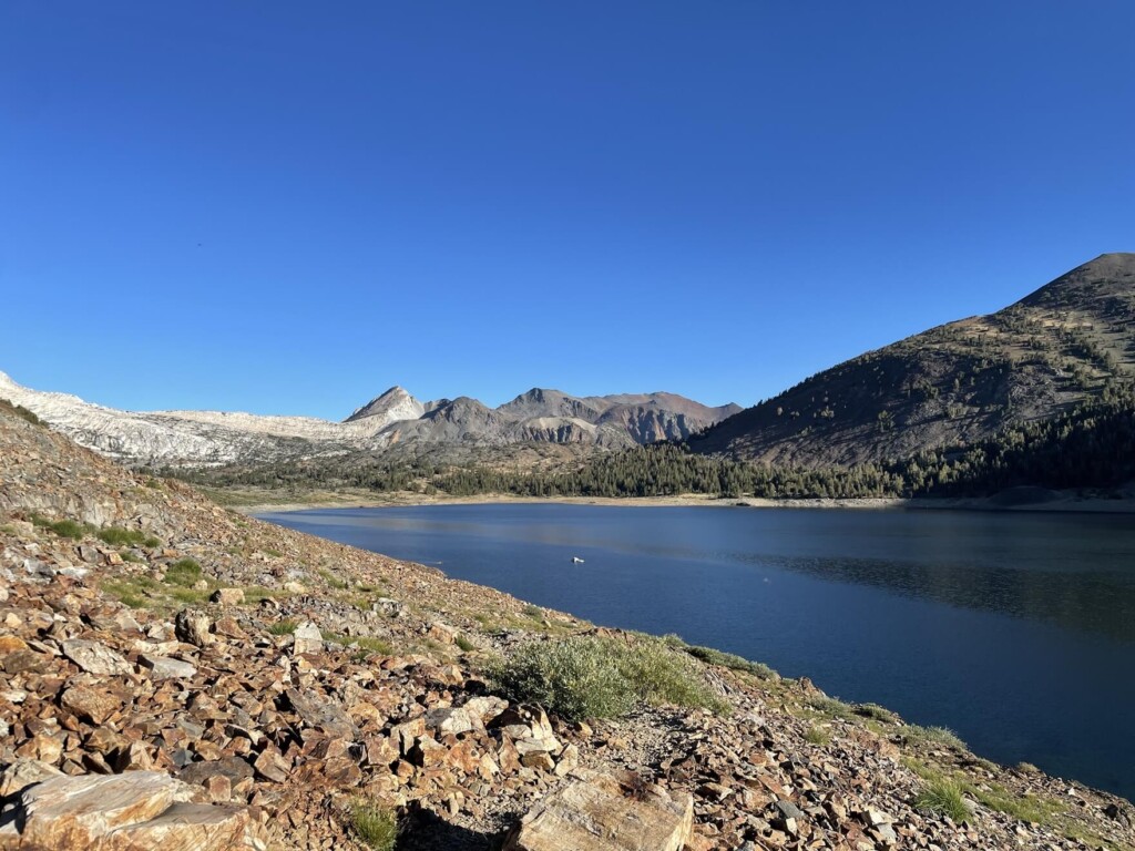
A relatively flat rocky area continues. In the background on the left, the white Snow Peak (approximately 3,728m) shines beautifully
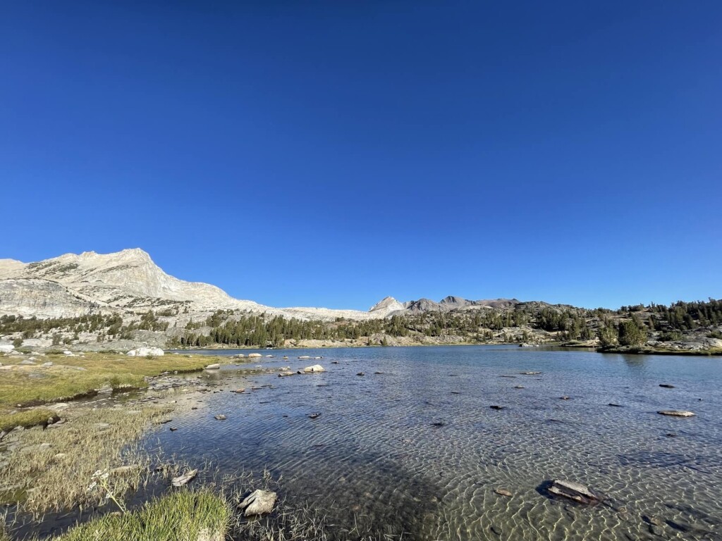
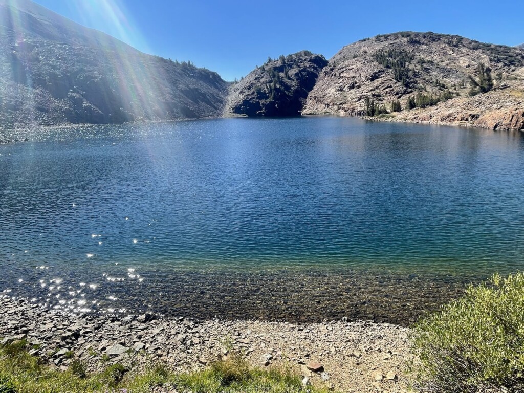
In the refreshing morning air, you will head along with Saddleback Lake on your right, and after about 40 minutes of walking, you will see Greenstone Lake (Map ②) on your right
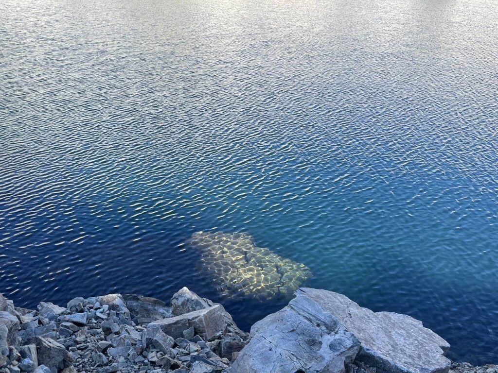
A small, shallow greenstone lake with a great view of Snow Peak and the surrounding mountains
Depending on the water level, you will have to cross a small creek that flows into Greenstone Lake as you continue on the trail, so be prepared to get wet, or you will need to adjust your movements while looking for areas or bridges where you can cross
As you continue walking along the sparkling greenstone lake in the morning, the trail begins to slope gently
There was also a small, nameless lake on the left, where two older men were enjoying their morning fishing. They said they had been camping nearby, and I thought to myself how wonderful it is that outdoors is such a part of everyday life for people of all ages, something unique to America. I continued on, smiling
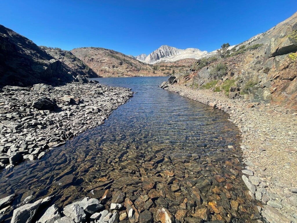
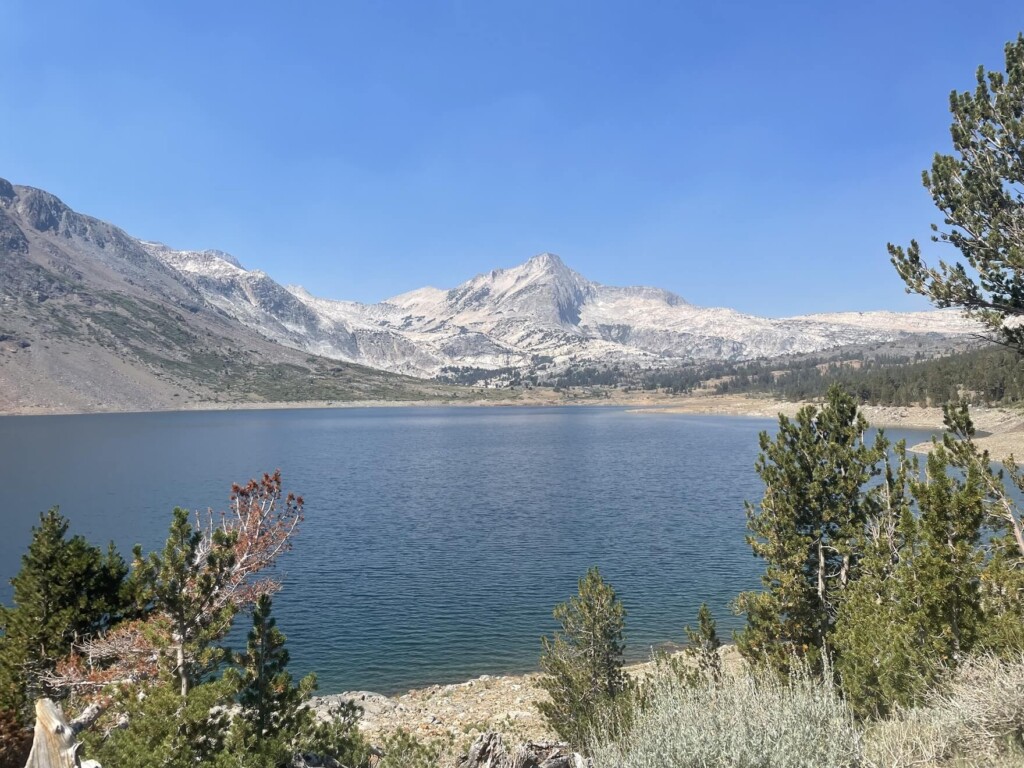
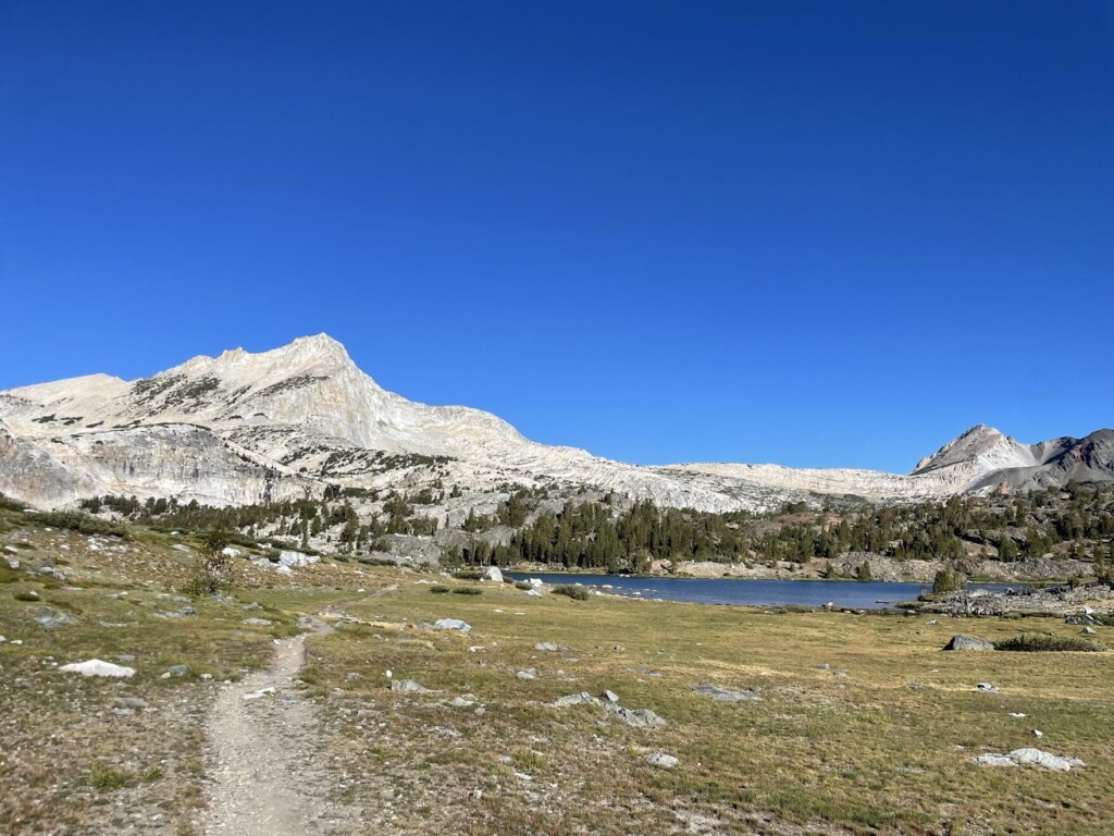
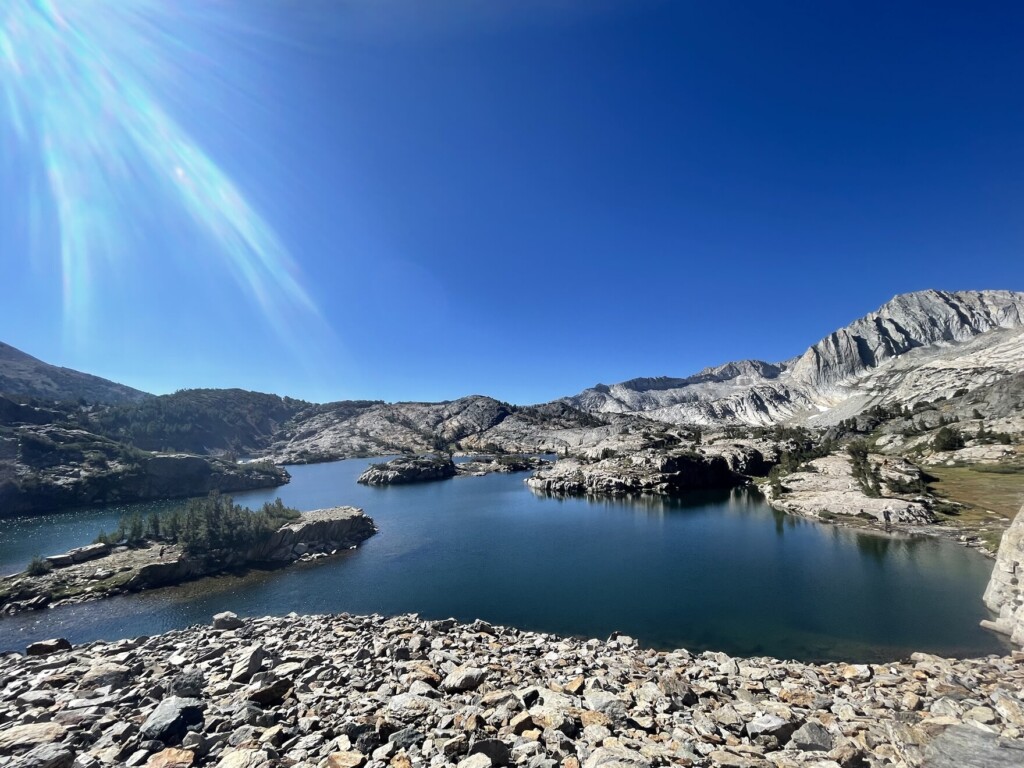
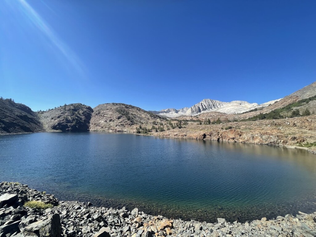
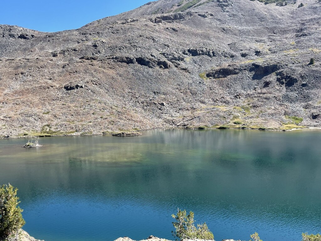
Map 3: Two hours after starting, we arrived at Steelhead Lake, another beautiful lake
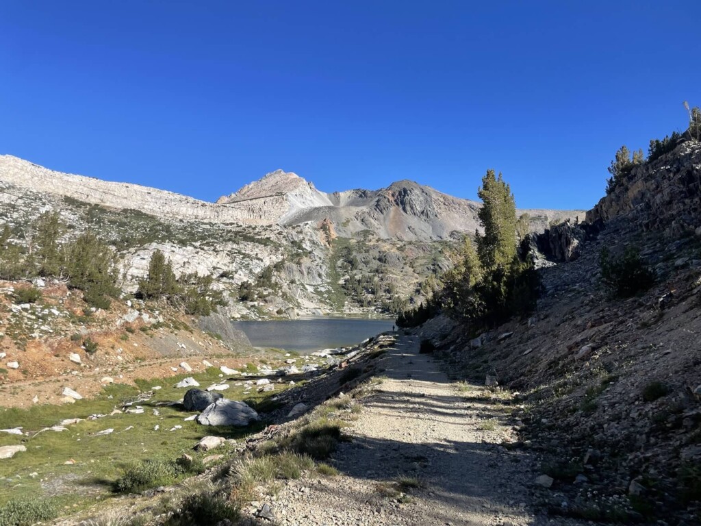
The surrounding mountains are reflected on the water's surface, and the blue of the sky is mixed in, creating a beautiful and sacred atmosphere
Of course, there's no one there. It's too quiet
I could look at this forever, but I'll go further
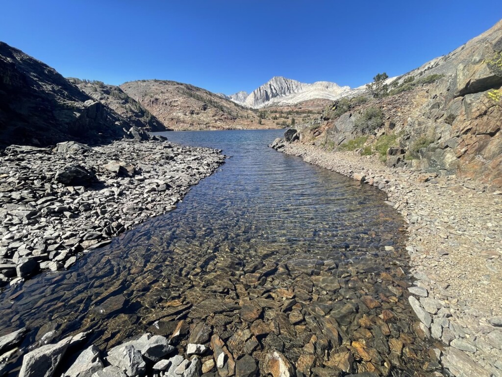
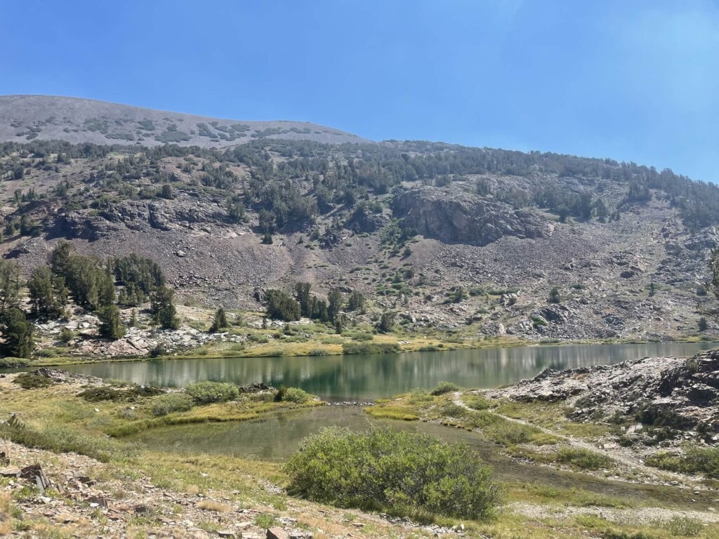
Next, we can see Shamrock Lake (Map ④). Different lakes appear one after another, making it seem like a fairy tale land
The water is incredibly clear, and the wind creates waves on the lake's surface, making it so beautiful you'll want to jump in right away
You can swim in basically any lake, and it's easy to find a spot to rest
It was morning so there was no one there. I had it all to myself
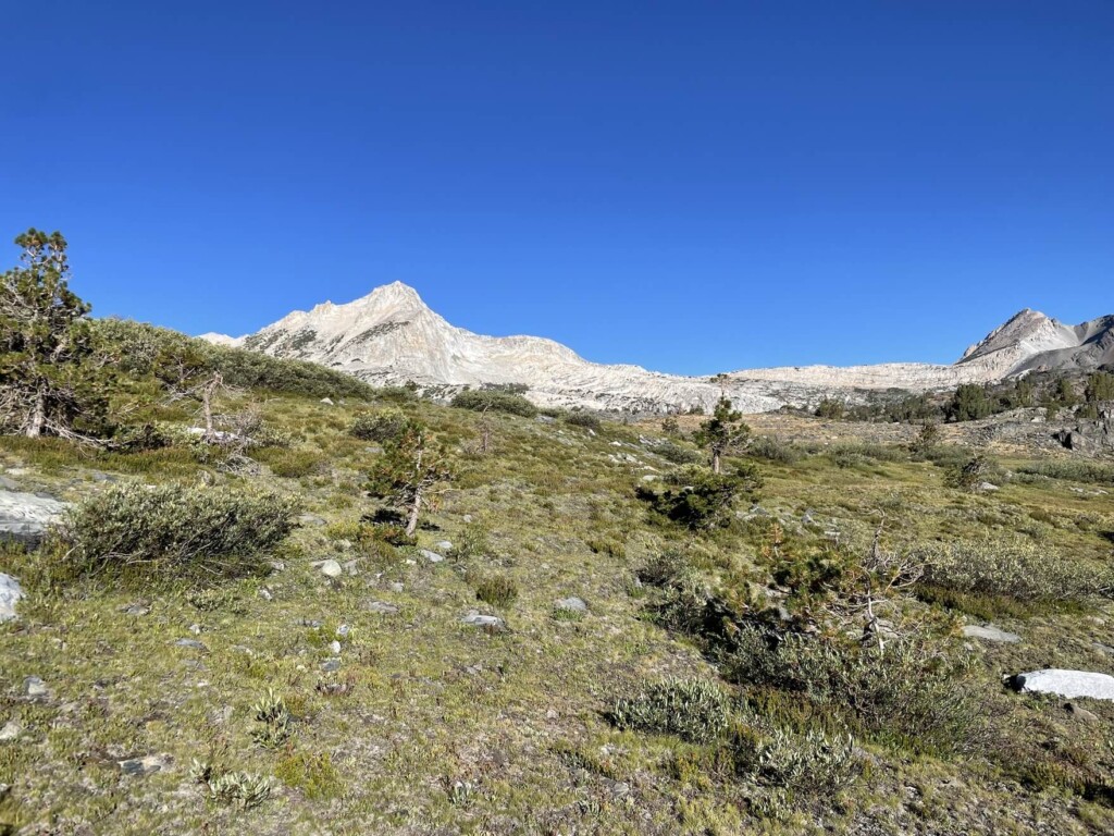
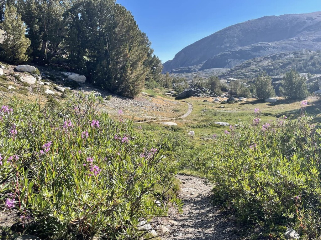
In some places, alpine plants such as fireweed are still in bloom, making it truly feel like summer in the mountains
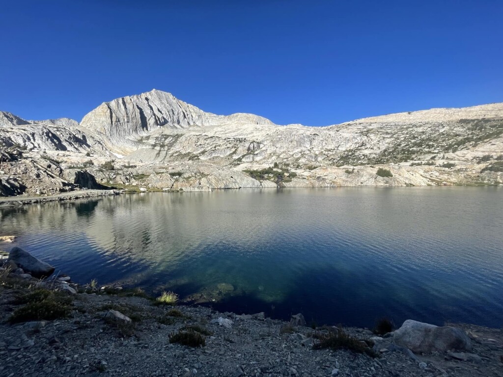
After that, Lake Helen will come into view (Map ⑤)
This lake is also really impressive. It's a very large lake, and you can walk along the lake to the other side and enjoy the view from various angles
The surrounding scenery is also wonderful and soothing
The color of the water is indescribable
And there's no one there
Just me, the lake, and the mountains
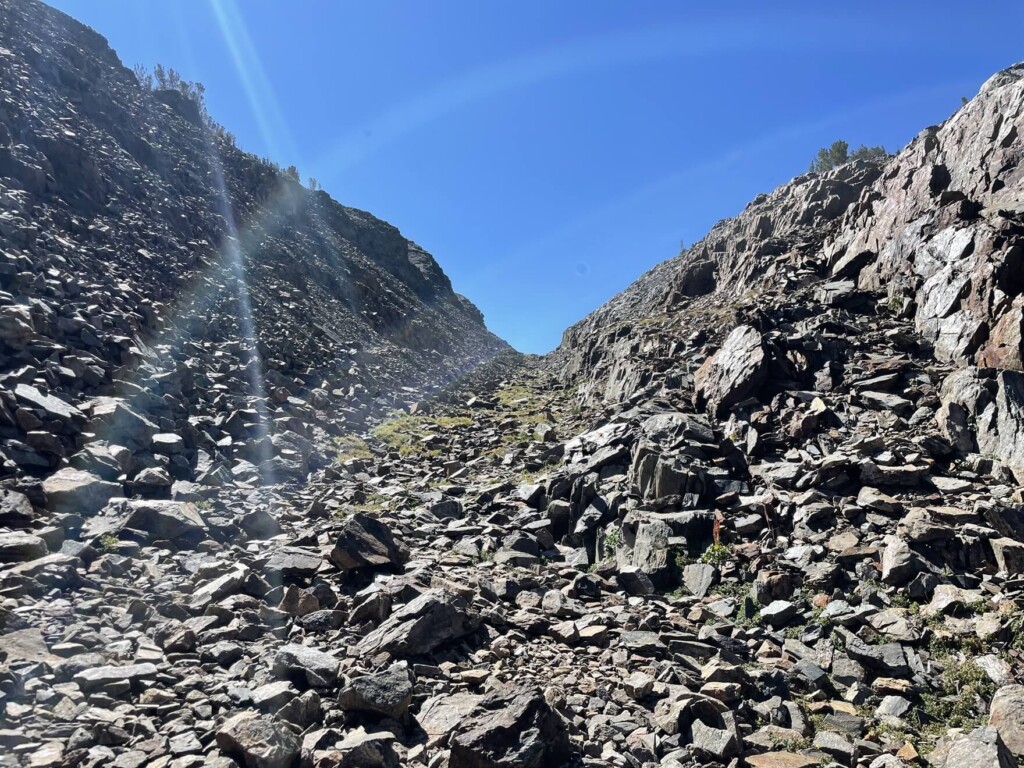
After Lake Helen the trail starts to get a little rocky
In this rocky area, you will see many pikas popping their heads out to welcome you
And going further,
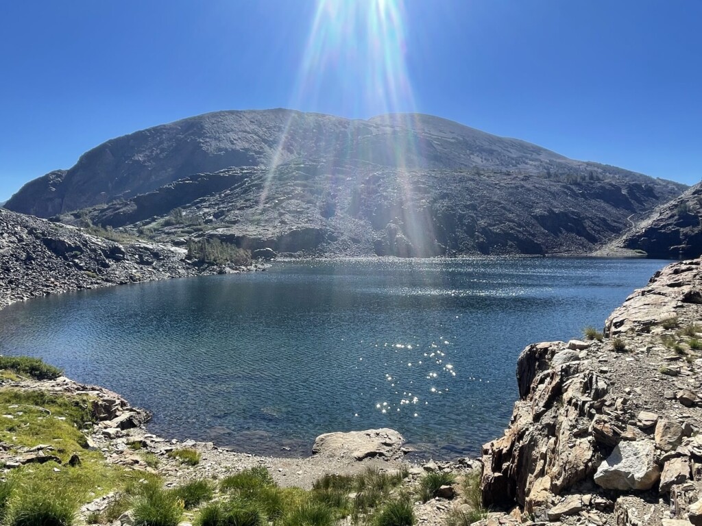
10:30 am Odell Lake comes into view
I wonder how many lakes I've seen so far, but my heart is always at peace in this natural paradise
The sun was up in the sky and I needed to cool down so I took a dip here
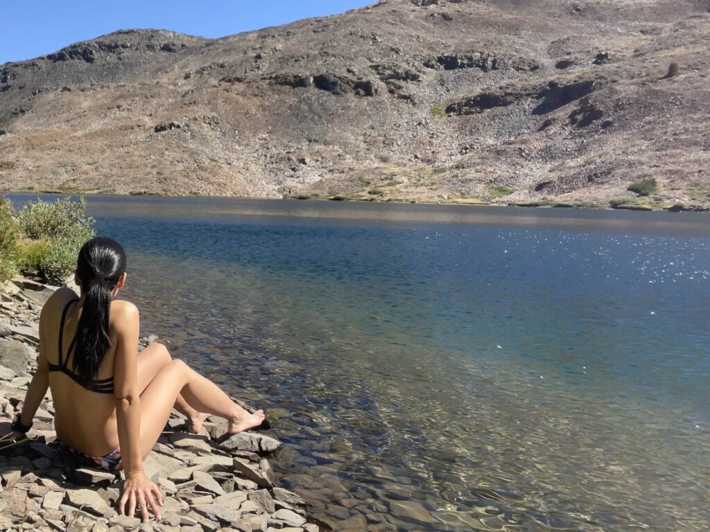
The water temperature is not too low and is just right
The great thing about hiking in America is that there are so many lakes like this one, so you can easily swim while hiking. It's really refreshing, and I'm happy to be able to feel the blessings of nature both physically and mentally. I'm grateful for nature and this environment
After a refreshing swim, we headed towards Saddlebag Lake, where we had started
Along the way, there is the small and cute Hummingbird Lake on the left
Continue going and you will come to location ⑥ on the map. Here you will come to a fork in the road. The path to the left and the path to the right are the same as the path you came on the way there
I'll leave this to you
If you go clockwise to the left, the trail is a little longer but is an easy, stable trail that continues all the way to the trailhead. If you go right, you will follow the same path as on the way there
Map 7: Water taxi departure and arrival point (if operational)
12:20pm Then we head back to our goal, the trailhead
It's a scenic hiking course that takes about 5 hours, with plenty of breaks
The slope difference is not that great, so it may take some time, but if you are in good condition, even beginners can do this course
I would love to hike the East Sierra Nevada someday
Sayaka Kato
 Leave your hiking and travel plans for California, including Yosemite National Park, to us. Influenced by my father, I've always loved outdoor activities, and while living in Japan, I started hiking and touring national parks, becoming fascinated by the natural beauty of America and Canada, which ultimately led me to my dream of visiting the United States. Currently, I run ANAMI TOURS, which offers local optional tours created together with clients, such as completely private hiking tours with Japanese guides. I'll introduce you to special options that I know only because I live in the area. If you're interested, please visit the website below
Related reading
 Can you die without walking? A trip to the US National Parks (28) See the waterfalls flowing through the glittering marble (Sequoia National Park)
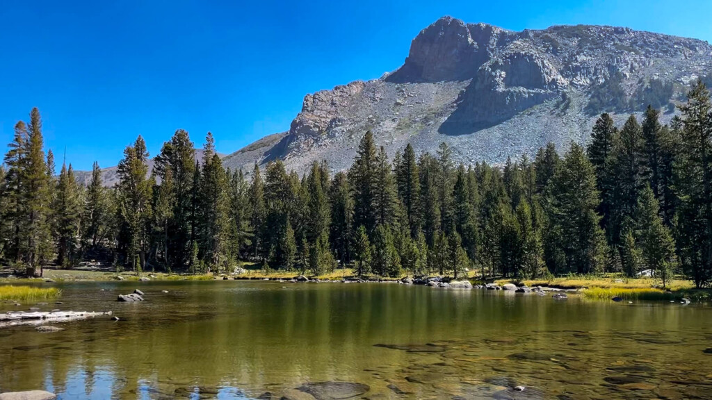 A day hike to Mt. Dana, Yosemite's second highest peak, higher than Mt. Fuji. [I can't die without walking! A trip to the American National Parks (38)]
 Can you die without walking? A Journey to the American National Parks (26) A breathtaking valley in the depths of a forest of giant trees Sequoia and Kings Canyon National Parks
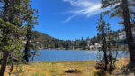 Cathedral Lakes Trail: A special trail to enjoy the quietness of Yosemite [I can't die without walking! A trip to America's National Parks (40)]