A day hike to Mt. Dana, Yosemite's second highest peak, higher than Mt. Fuji. [I can't die without walking! A trip to the American National Parks (38)]
Written by Sayaka Kato
Following on from last time's East Sierra Nevada, this time we will introduce hiking trails in the same area
Mount Dana, the second highest mountain in Yosemite National Park at 3,981 m. This trail begins along Tioga Road on the east side of the park
Mount Dana, the highest peak in Yosemite National Park
This is a hiking trail that can be done in a day, and the trail starts right after you enter the east gate, making it very accessible and one of the most popular trails
At 3,981 m (13,061 ft), the mountain is higher than Mount Fuji, and the course, including the slope, is quite steep and is suitable for intermediate and above level hikers
This trail is perfect for those with good legs and those who want to take their time walking in Yosemite
★Trail along Tioga Road (the road leading to the east entrance)
There are five entrance gates to Yosemite Park: three on the west side, one on the south side, and one on the east side. No matter which gate you enter through, you must pay an entrance fee (park admission fee)
If you are coming from San Francisco, enter the park through the west entrance
When you have limited time to visit Yosemite Park, you need to narrow down the places you visit, and most first-time visitors will likely spend their time sightseeing in the area known as Yosemite Valley. Yosemite Valley is home to spectacular views, accommodation, cafes, souvenir shops, and more, making it a popular place for tourists to relax
However, for those who come to Yosemite Park for hiking, the must-see is the trails and mountains that run along Tioga Pass Road (Route 120), which leads to the eastern side of Yosemite Park. (The purple line on the Tioga Pass map below.)
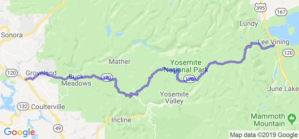
Tioga Road is historically famous as State Route 120, a road with spectacular views that is also used when traveling to the town of Lee Vining, located beyond Yosemite's eastern gate, or to the town of Lone Pine, heading south on Panorama Highway (Route 395) on the eastern side of the Sierra Nevada Mountains
This is a road with breathtaking views that makes it easy to see why famous hikers call it the Sierra Nevada! The surrounding area, including Mammoth Lakes and Mono Lake, located outside Yosemite Park to the east, is home to many beautiful mountains and lakes, making it a mecca for hiking, camping, fishing, and other outdoor activities, with many people enjoying outdoor life in the great outdoors in the summer
Tioga Road passes through the high Sierra Nevada Mountains at an elevation of over 3,000 meters (9,943 ft), so it gets a lot of snow in the winter and is only open in the summer. The opening times vary slightly depending on the snowfall each year, but it is a limited-time road that is open from roughly late May after the snow melts until the end of October before winter arrives. (Please check the official website regularly.)
There are also many scenic viewpoints along Tioga Pass, so you can stop at viewpoints and enjoy the scenery while driving
Olmsted Point, Tenaya Lake, Tuolumne Meadows, Lembert Dome: and more
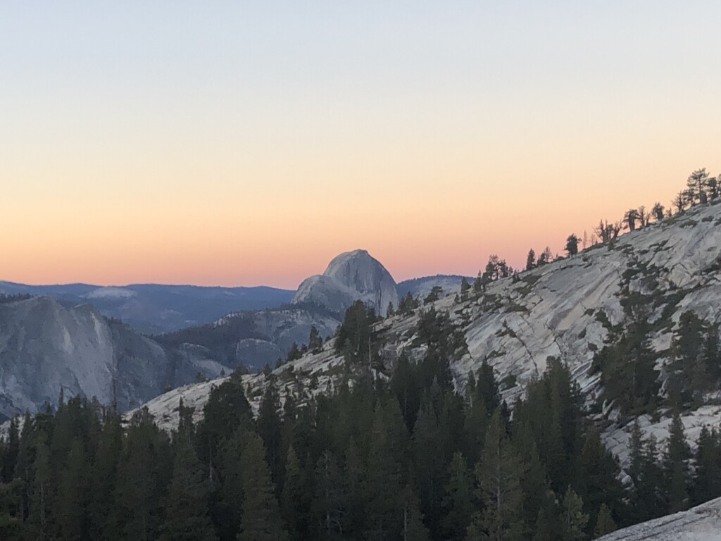
table of contents
Mount Dana hiking information (photo taken August 2022)
Access (by car to the trailhead)
Trailhead Address: Google Maps: " Yosemite Entrance Gate Tioga Pass "
*Due to poor signal quality, we recommend downloading the map in advance
What to bring
As for useful items to bring on a hike, as always, prepare the same equipment as you would for a typical hike in the United States
- Drinks (larger in summer, about 2 liters)
- Temperature-adjustable winter clothing
- hat
- sunglasses
- sunscreen
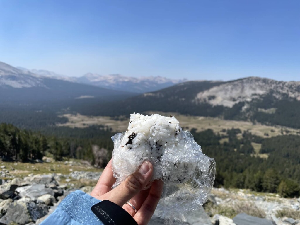
- Snacks to eat during the hike
- If you have any regular medications, bring first aid such as medicines and bandages
Trail Data
- For intermediate to advanced players
- Season: Best season is from May to October (depending on the amount of snowfall that year)
- Trailhead Elevation: Approximately 3031m (9,945 ft)
- Round trip: Approximately 11.2km (7.0 mi)
- Height difference: approx. 946m (3,103 ft)
- Course time: 5 to 7 hours round trip (including breaks)
Start hiking from the trailhead
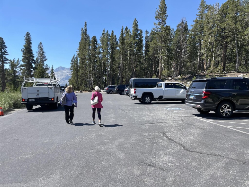
Heading towards the east gate from Yosemite Valley, there is a parking lot on the left just before the gate. Park your car there
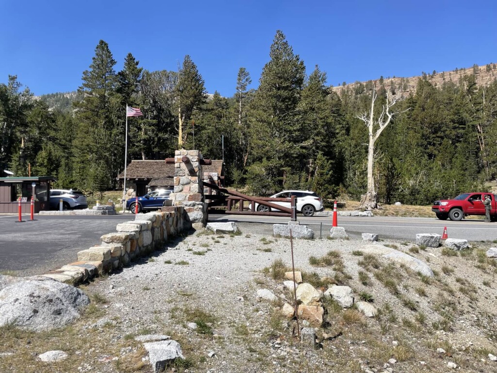
I arrived around 11:00 and there was plenty of space for my car. (This may be because it was August 2022, when a park permit was required and the number of visitors to the park was limited.)
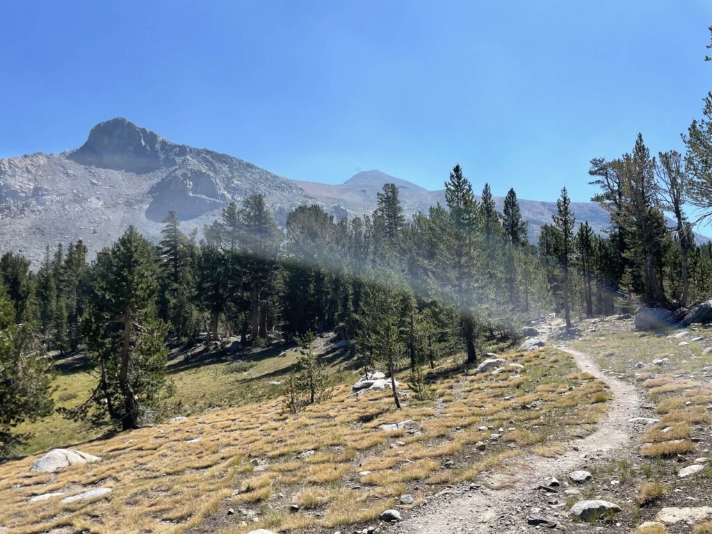
Across the road from the parking lot, you can see the beautiful Mount Dana, which you will be climbing. The trailhead also starts across the road from the parking lot
We finally departed just after 11 o'clock
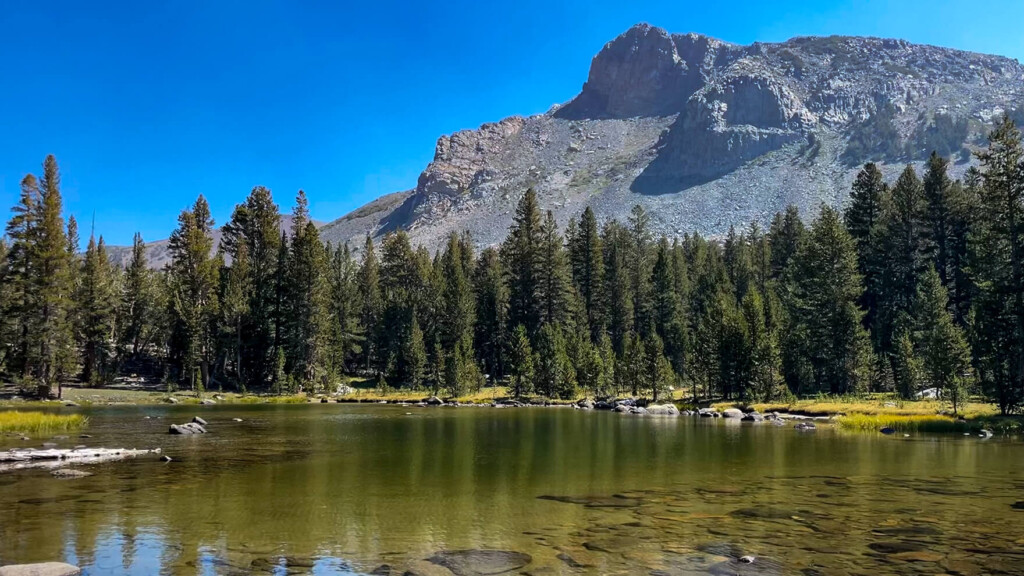
After five minutes of walking, you will see a small lake

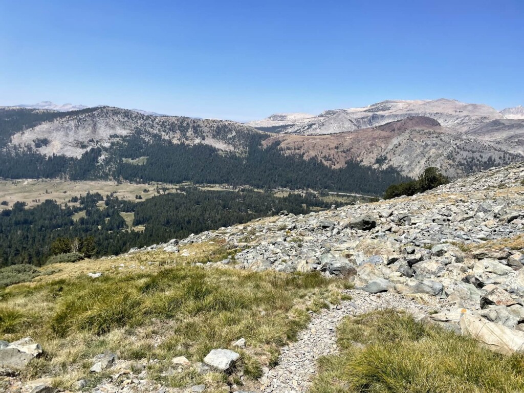
At first the trail is relatively flat and easy, then you will pass through meadows and small lakes
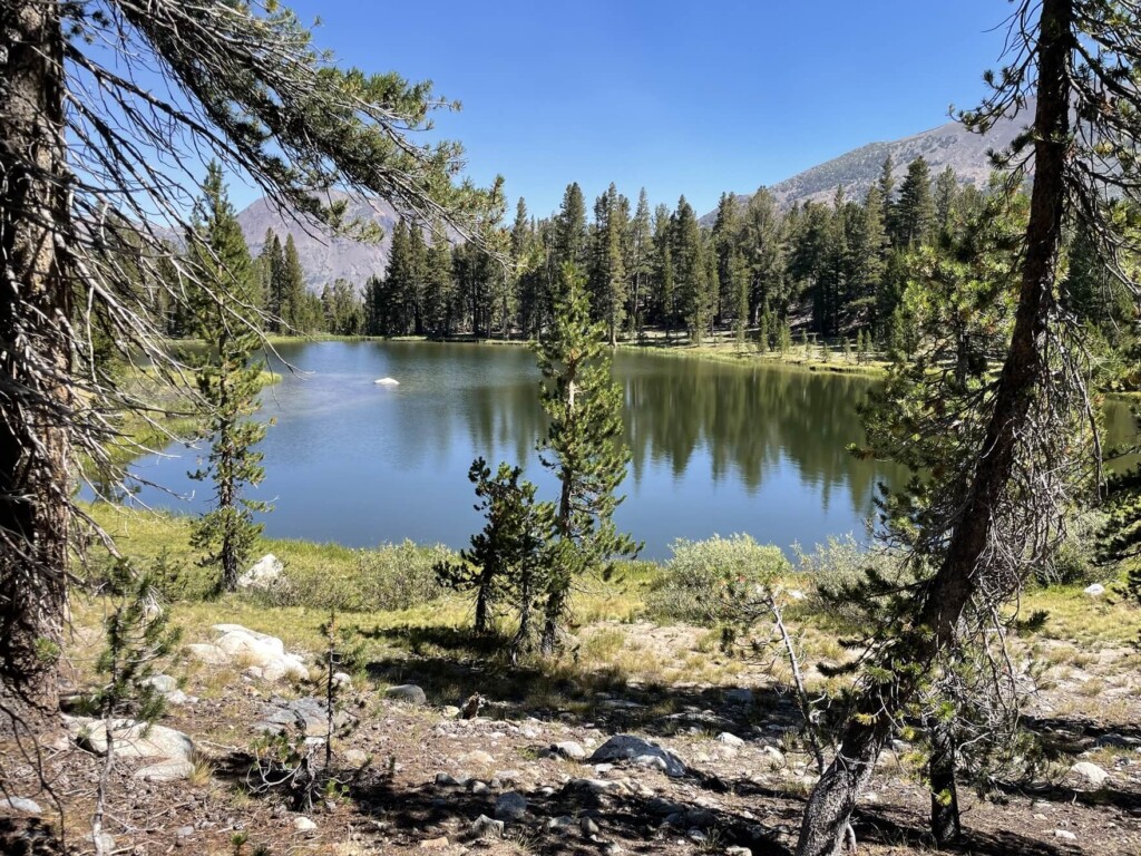
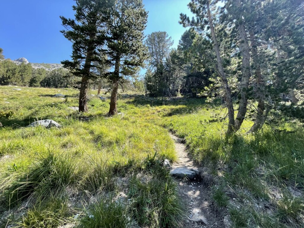
The greenery is lush and beautiful, and it's a very pleasant space to walk through
It may have been a little late in the season, but in some places the alpine plants and flowers were still in bloom and very beautiful
If I had come a little earlier, there would have been more blooms

We continue on, admiring these beautiful mountains
About 30 minutes after the start, the trail starts to gradually slope up and switchbacks begin
About 1.5 hours after starting, at about 2.5km (1.5 miles), we arrived at a flat, open area. This was roughly the halfway point of the outbound journey. The view was great, making it a great place to take a break
Let's take a break here
After this, the steep slope begins, so before that we take a break and have some snacks and water
The scenery and weather were amazing, but the wind was strong and cold, so the windbreak shell was useful
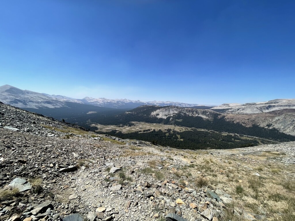
Refreshing views wherever you look
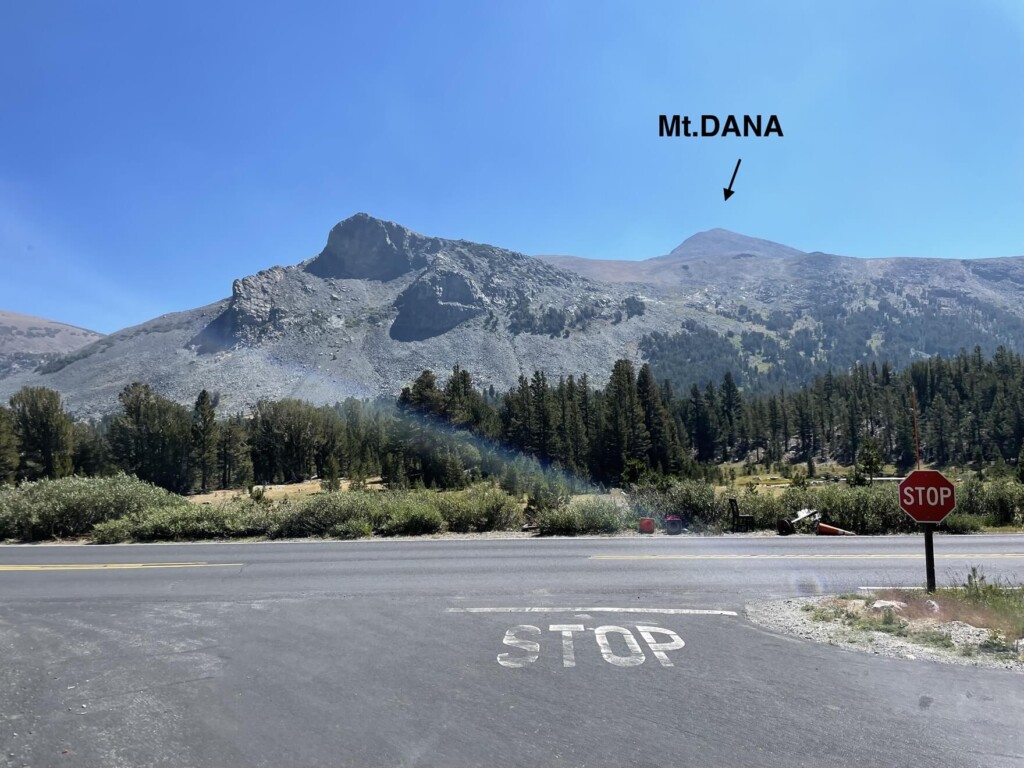
Looking up, you can see Mount Dana in the distance. From here, we will climb up to there
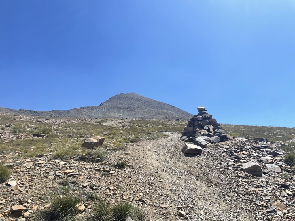
There are cairns everywhere on the trail to mark the way. If you have trouble finding the trail, just follow these cairns and you'll be fine
After a break, we set off again towards Mount Dana in the distance
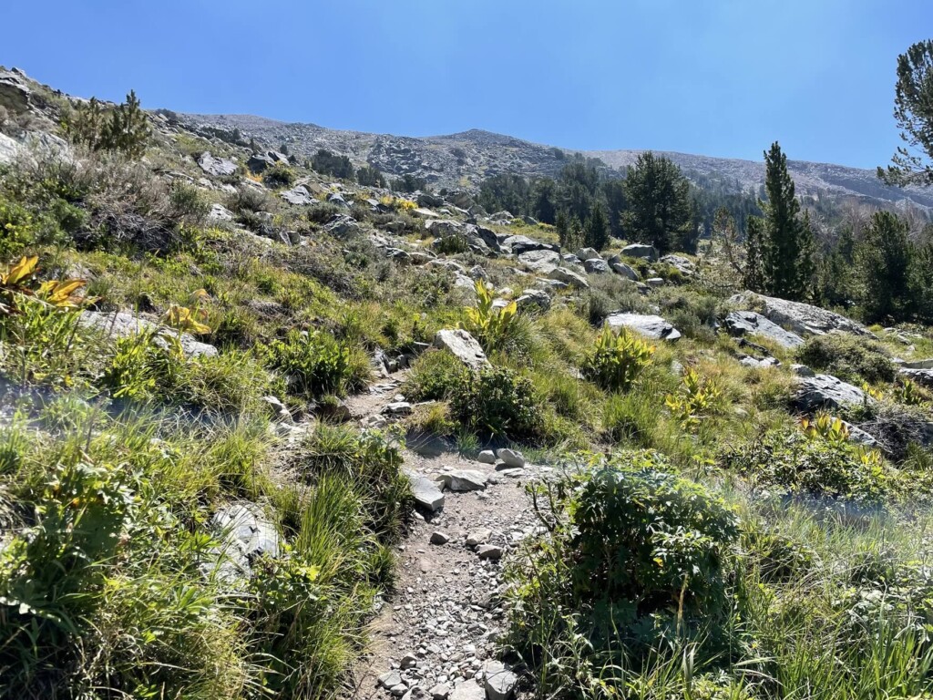
This is where it gets tough. The steep switchbacks begin. The path becomes rocky and the trail is difficult to see in places, but follow the cairns that serve as markers and continue towards the summit of Mount Dana
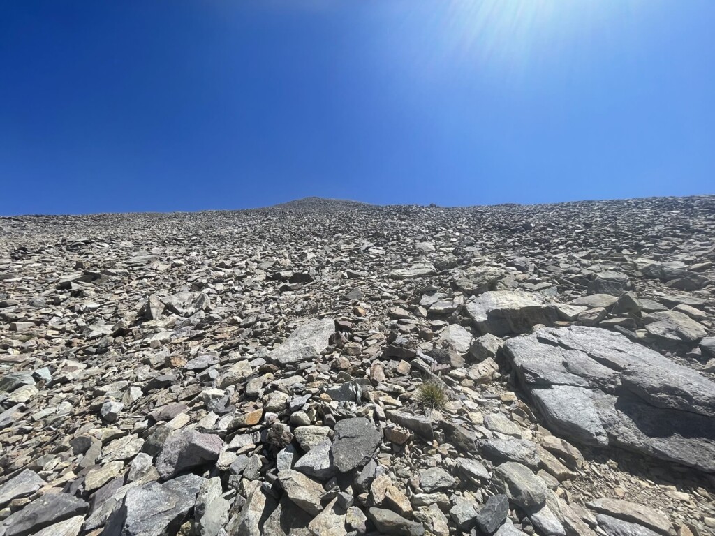
We passed the tree line and the oxygen became thinner and thinner. We walked slowly, taking frequent breaks as we continued to climb higher and higher
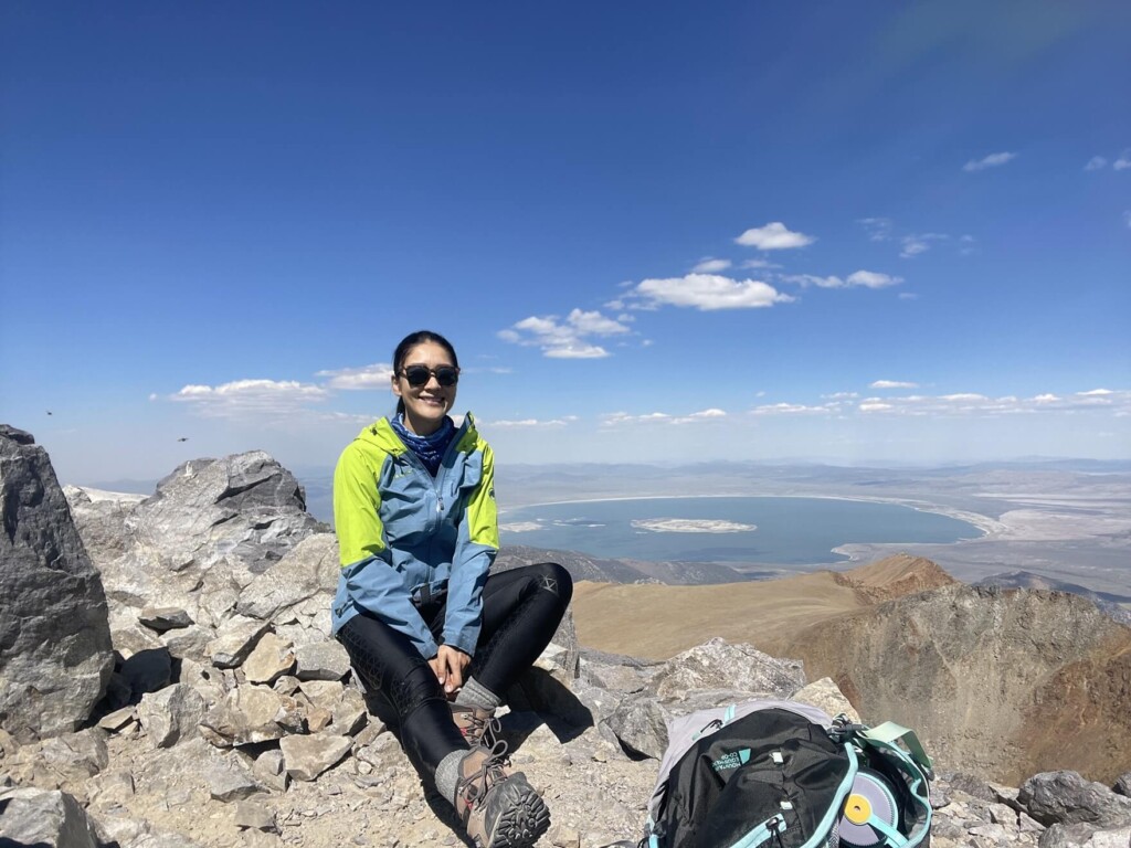
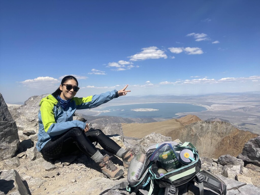
We climbed a challenging slope while enjoying the beautiful surrounding scenery, and finally reached the summit about three hours after starting
The second half of this trail is definitely the hardest part. The very end is tough. You'll need to use up all your energy in the last hour
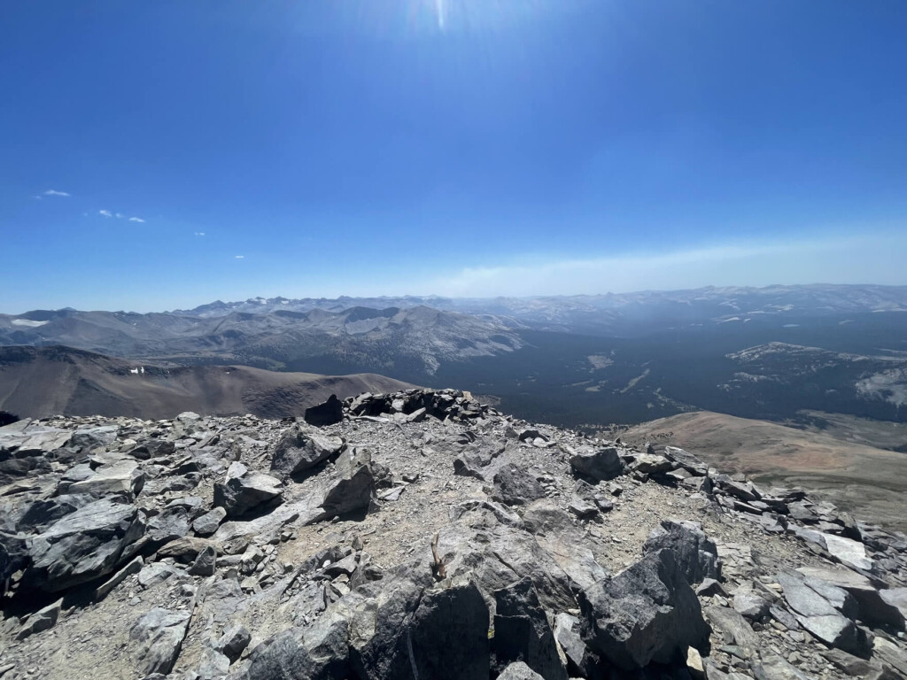
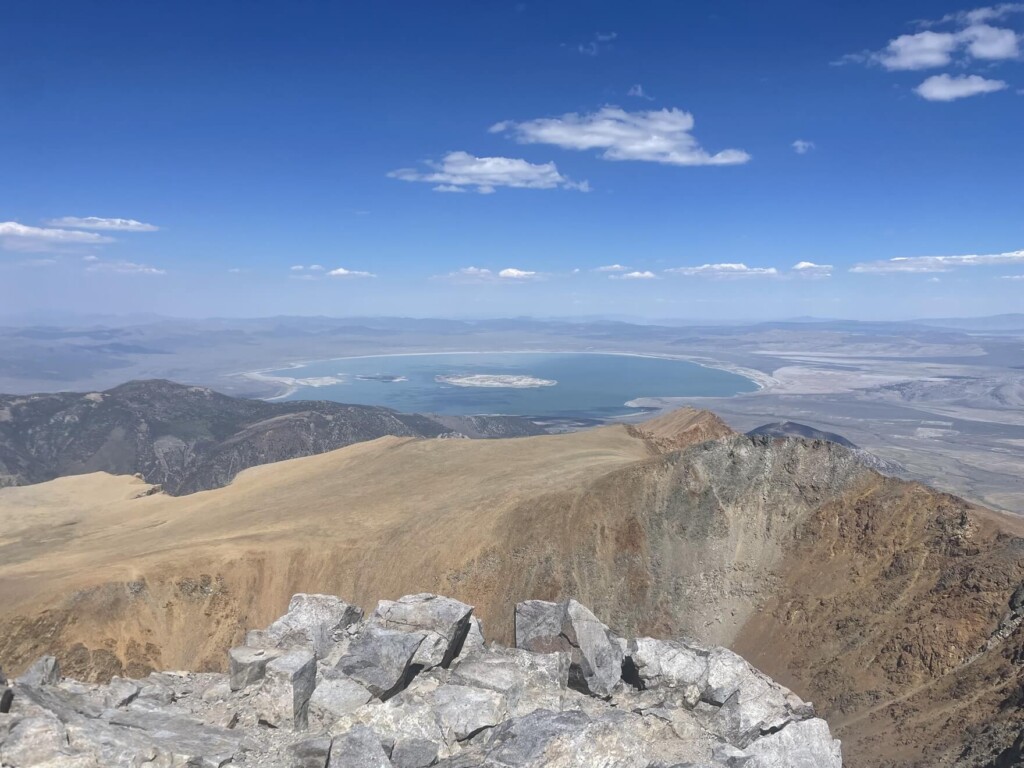
The 360-degree view from the summit is breathtaking
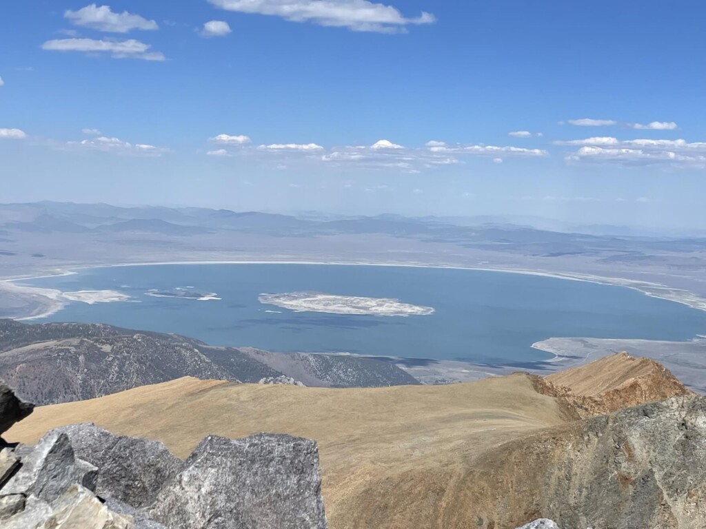
You can see the huge Mono Lake right in front of you

You will feel a sense of accomplishment as you look at the magnificent views of Dana Meadows, Tioga Peak, and more
As it is one of the highest peaks, the distance is short, but the slope and altitude require a great deal of physical strength. However, the scenery is beautiful and it is a worthwhile climb
After the break, the return journey will be down the same path you came
This is on the east side of Yosemite National Park, and the nearest town from here is Lee Vining, which can be reached in about 30 minutes from the east gate
Lee Vining has not only accommodations but also campsites and RV parks, so if you need to stay overnight, it's convenient to use those
Yosemite Valley is nearly 80 miles from here, and it takes about two hours by car, so if you're hiking Mount Dana or the Twenty Lakes Basin Loop Trail (as we did last time), staying at a lodging facility on the east side will reduce the distance you have to travel and save you time
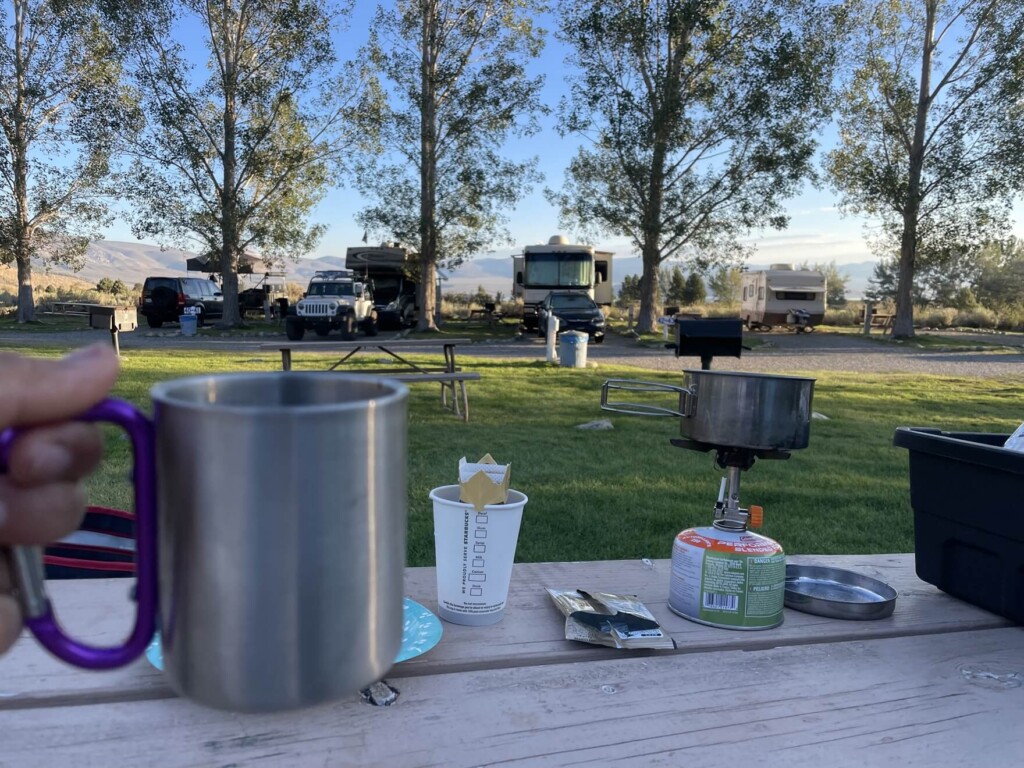
By the way, I stayed at an RV park in Lee Vining, which is conveniently located right in front of Mono Lake
Next time, why not take a hike in California's famous Eastern Sierra Nevada?
Sayaka Kato
 Leave your hiking and travel plans for California, including Yosemite National Park, to us. Influenced by my father, I've always loved outdoor activities, and while living in Japan, I started hiking and touring national parks, becoming fascinated by the natural beauty of America and Canada, which ultimately led me to my dream of visiting the United States. Currently, I run ANAMI TOURS, which offers local optional tours created together with clients, such as completely private hiking tours with Japanese guides. I'll introduce you to special options that I know only because I live in the area. If you're interested, please visit the website below
Related reading
 Mount Rose, located near a popular ski area, offers an easy 3,000m hike and 360-degree views. [A trip to the US National Parks (39)]
 Can you die without walking? A trip to the US National Parks (18) A hiking trail that is full of California flavor: Mount Tamalpais State Park
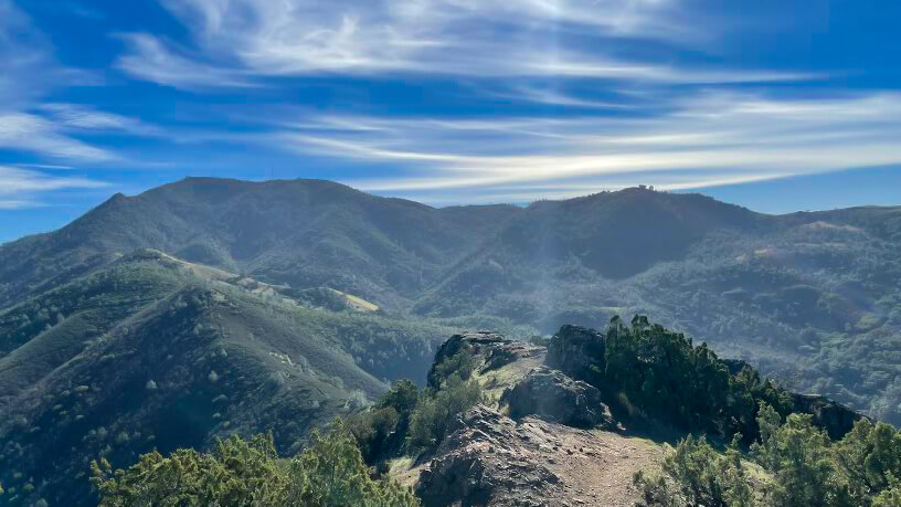 Can you die without walking? A Journey to the US National Parks (19) Mount Diablo State Park, a Famous Peak in the Bay Area of California
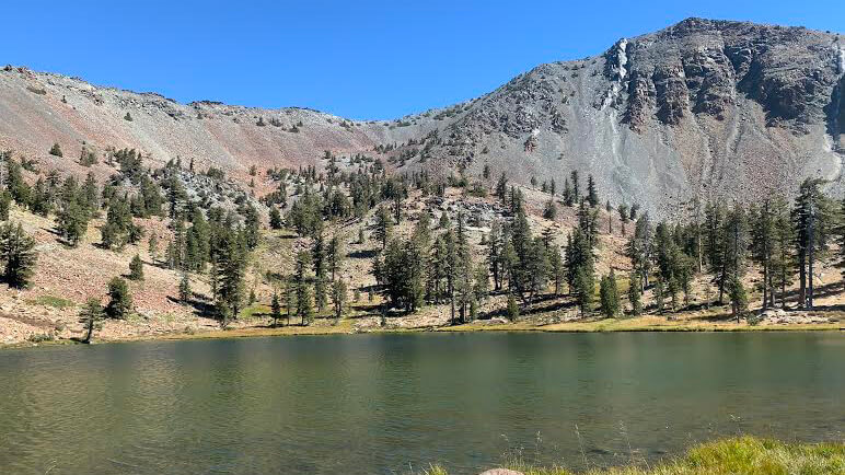 Can't die without walking? A Journey to the American National Parks (16) Flowers, greenery, lakes, and a panoramic view from the summit. Mount Shasta's magnificent peak, Mount Eddy Trail, has it all