
A short hike in the desert sparkling in the sunset. The third hiking course in the Death Valley area: Mosaic Canyon Trail [Can you die without walking? A trip to the US National Parks (46)]
Written by Sayaka Kato
Following on from last time, this is the third installment of Death Valley National Park, and this time we will introduce Mosaic Canyon Trail, a short hike through the desert sparkling in the sunset
As the name suggests, this is a place where you can see mosaic-patterned rocks
The rock fragments of various colors and shapes look like a mosaic, so the trail is named Mosaic Canyon Trail
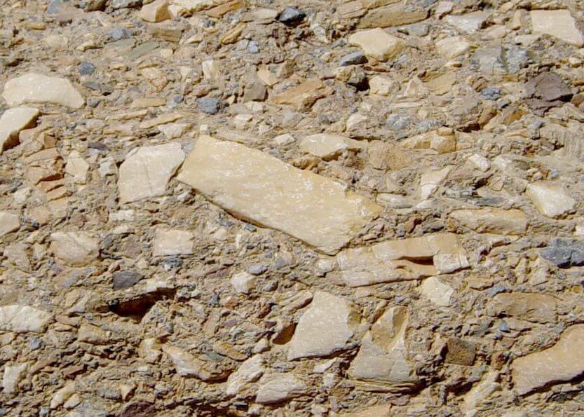
It is made up of rock fragments from different layers of the earth that have been mixed together and cemented together by natural cement to form a single rock
We started hiking late that day, so the rocky mountains shining in the setting sun were very beautiful
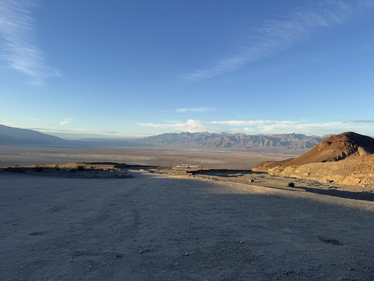
table of contents
Best time to hike in Death Valley (reposted)
- October to April: Relatively mild temperatures make sightseeing and hiking comfortable
- December to February (Winter): Daytime temperatures are comfortable at around 20°C, but there is a large temperature difference between morning and evening. It gets chilly in the mornings and evenings, so you should take precautions against the cold and pay attention to your clothing
- March to April (Spring): This is a particularly beautiful time of year, especially in rainy years, when wildflowers bloom and the scenery is beautiful
*Death Valley from May to September (summer) is one of the hottest places in the world, and the risk of heatstroke is extremely high, so sightseeing and hiking are dangerous, so please be careful. If you are hiking between March and May, we recommend early in the morning or in the evening. Please refrain from hiking here in the summer
Mosaic Canyon Trail Information
What to bring
As for useful items to bring on a hike, as always, prepare the same equipment as you would for a typical hike in the United States
- Drinks (a generous amount, about 3 liters, is recommended)
- Warm clothing that can regulate your temperature (a windproof shell is helpful)
- hat
- sunglasses
- sunscreen
- Snacks to eat during the hike
- If you have any regular medications, bring first aid such as medicines and bandages
- Other than that, your favorite hiking gear
Trail Data
- Best season: October to April (this photo was taken in March)
- Distance: 4 miles (6.4 km) round trip
- Travel time: 2.5-3 hours round trip
- Difficulty: Beginner
- Trailhead elevation: approx. 272 m
- Elevation gain: 1,200 feet (366 m)
Access (by car to the trailhead)
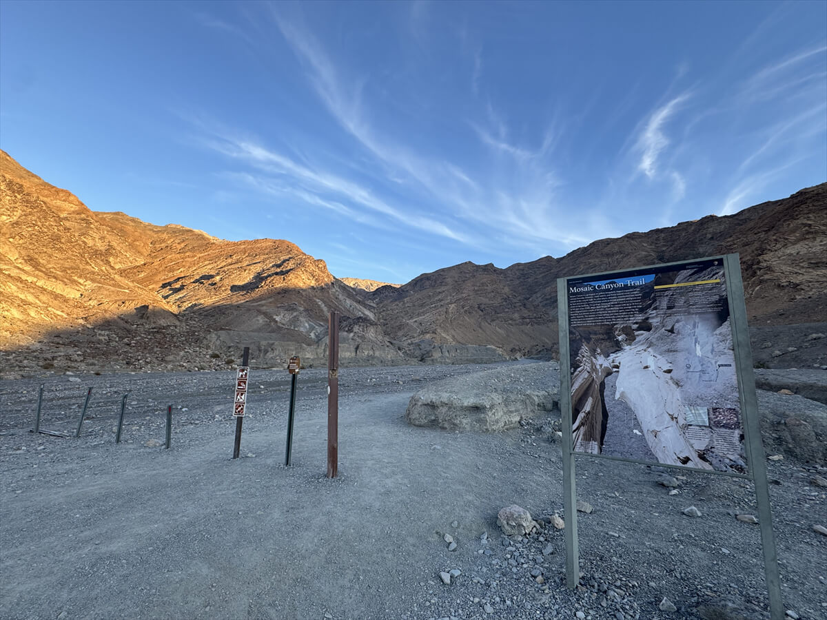
Mosaic Canyon Trailhead 92328 California
Location: To get to the trailhead, take the dirt road Mosaic Canyon Road (2.3 miles/3.7 km) from the main road
It is located in Stovepipe Wells Village, opposite Stovepipe Wells Campground
This road is gravel but sedan cars can also drive on it
Start hiking from the trailhead
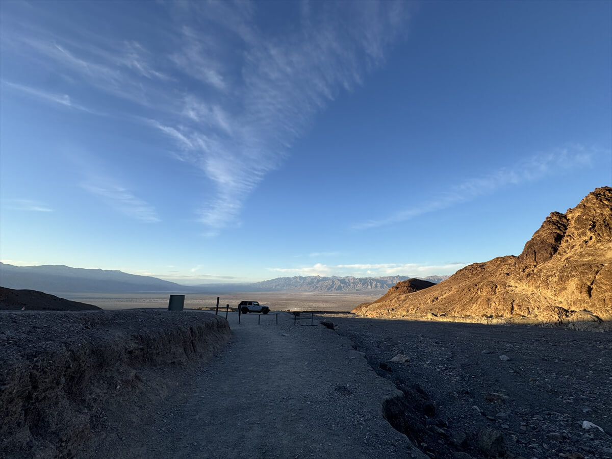
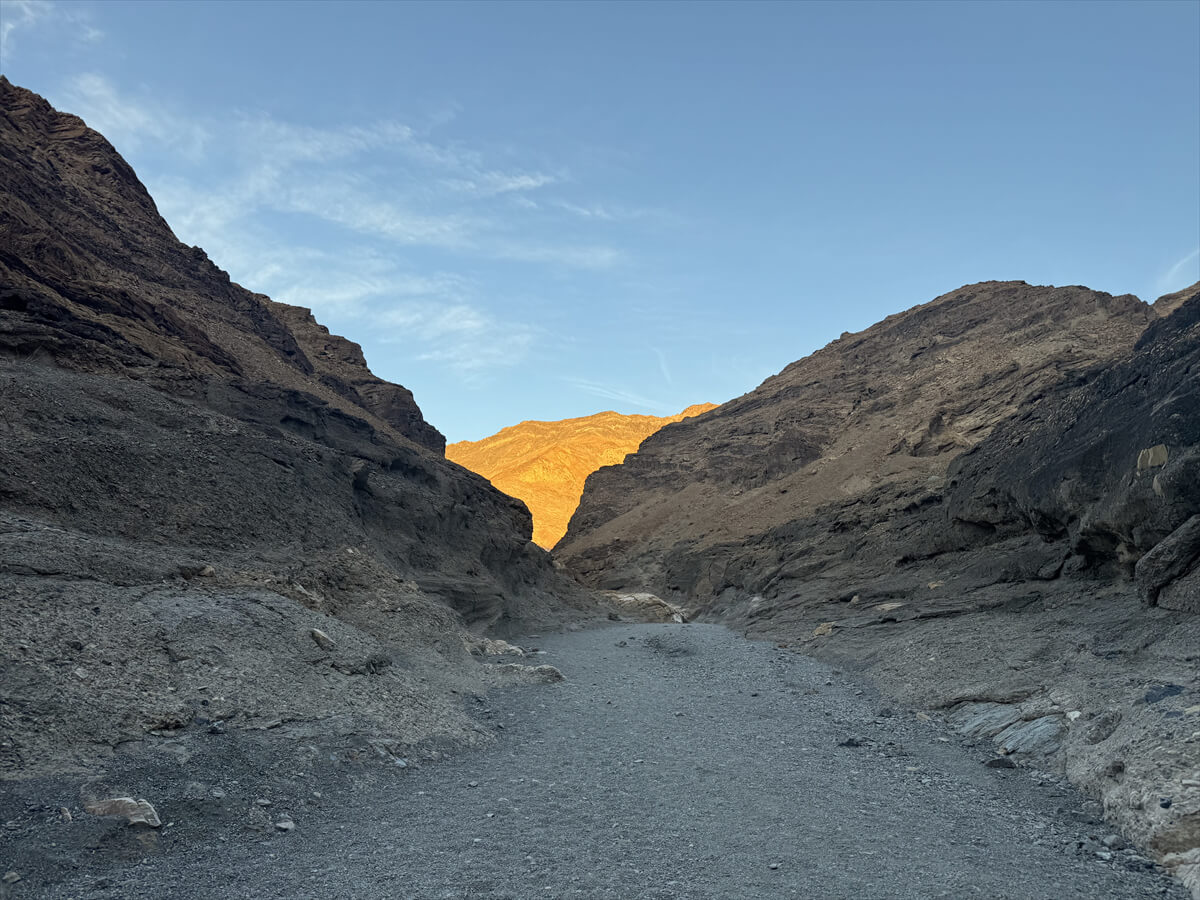
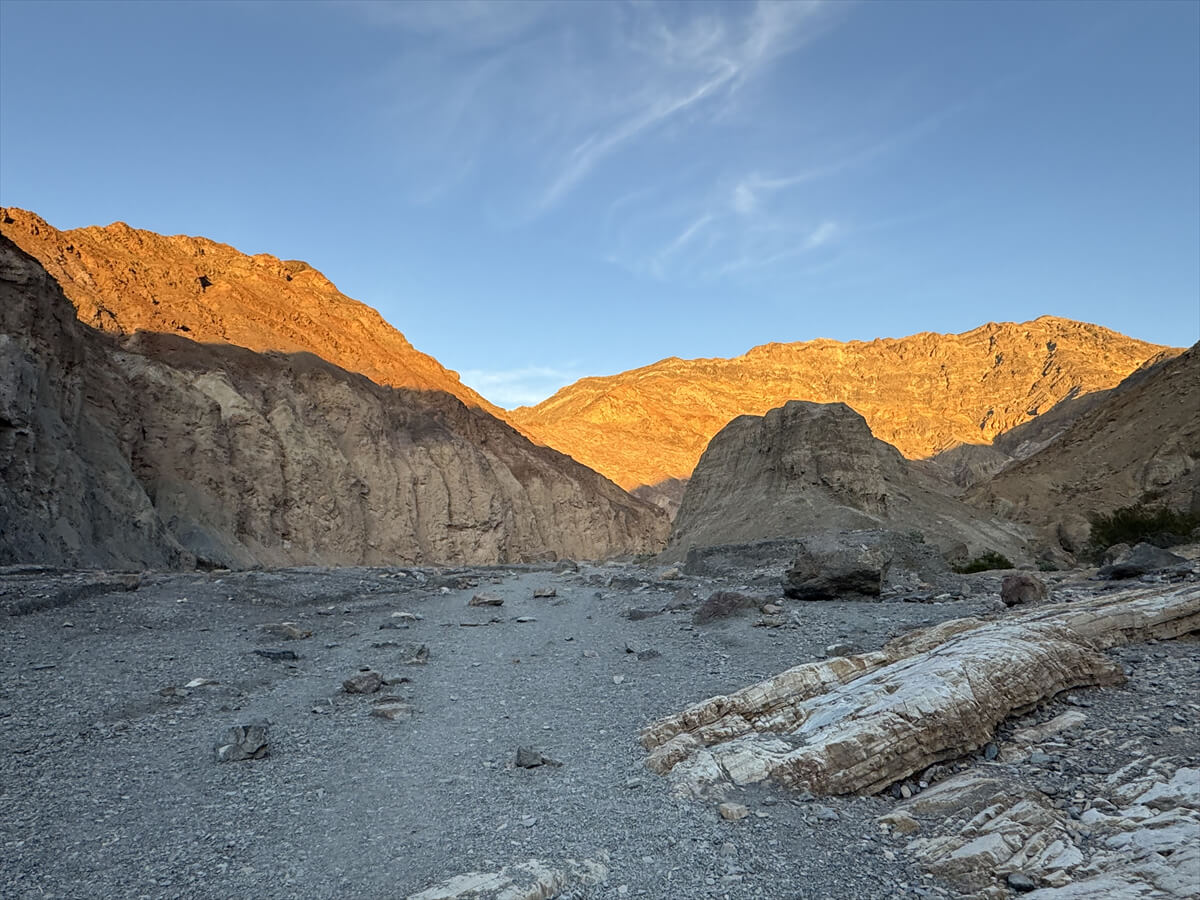
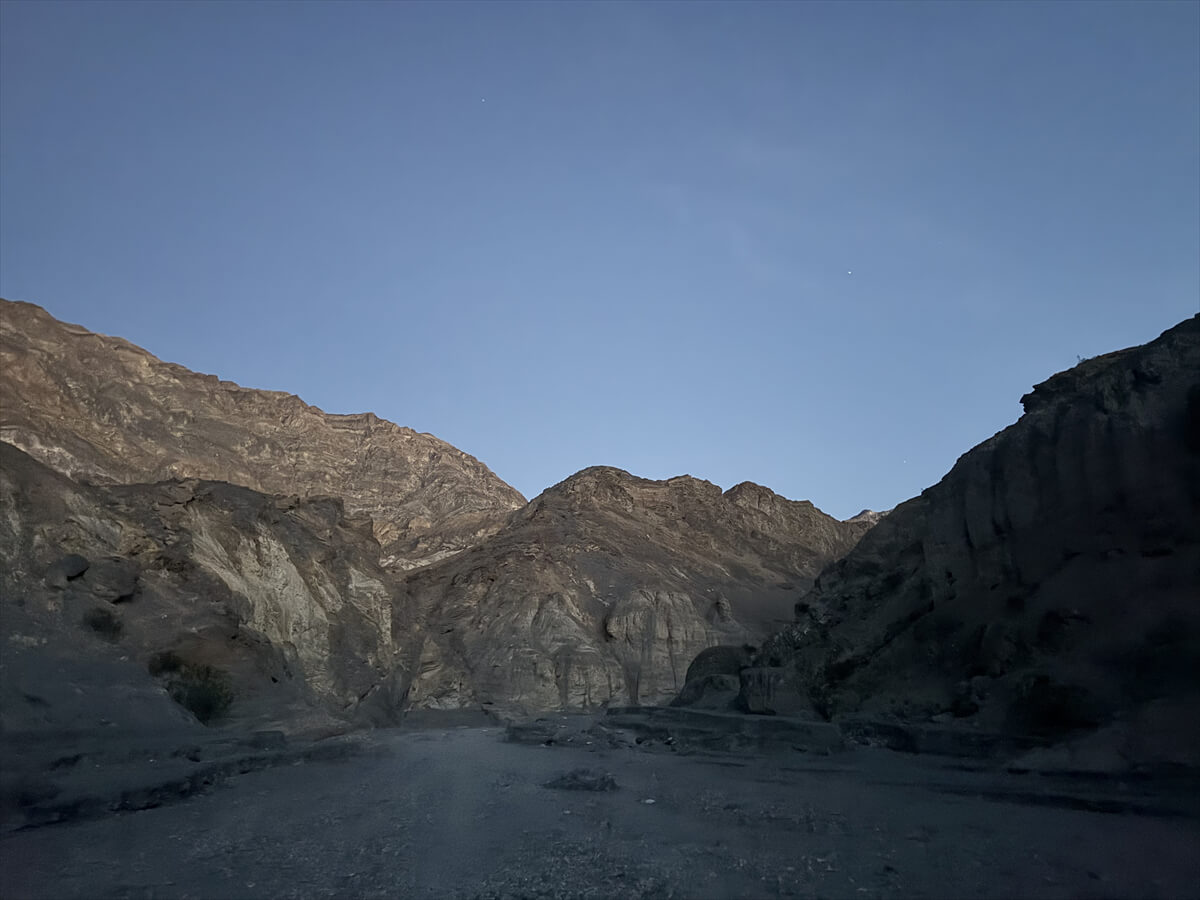
We arrived at the parking lot at 5:15, and since sunset that day was at 5:45, it would be dark in 30 minutes, but since the hike was short, we decided to set off as a sunset hike
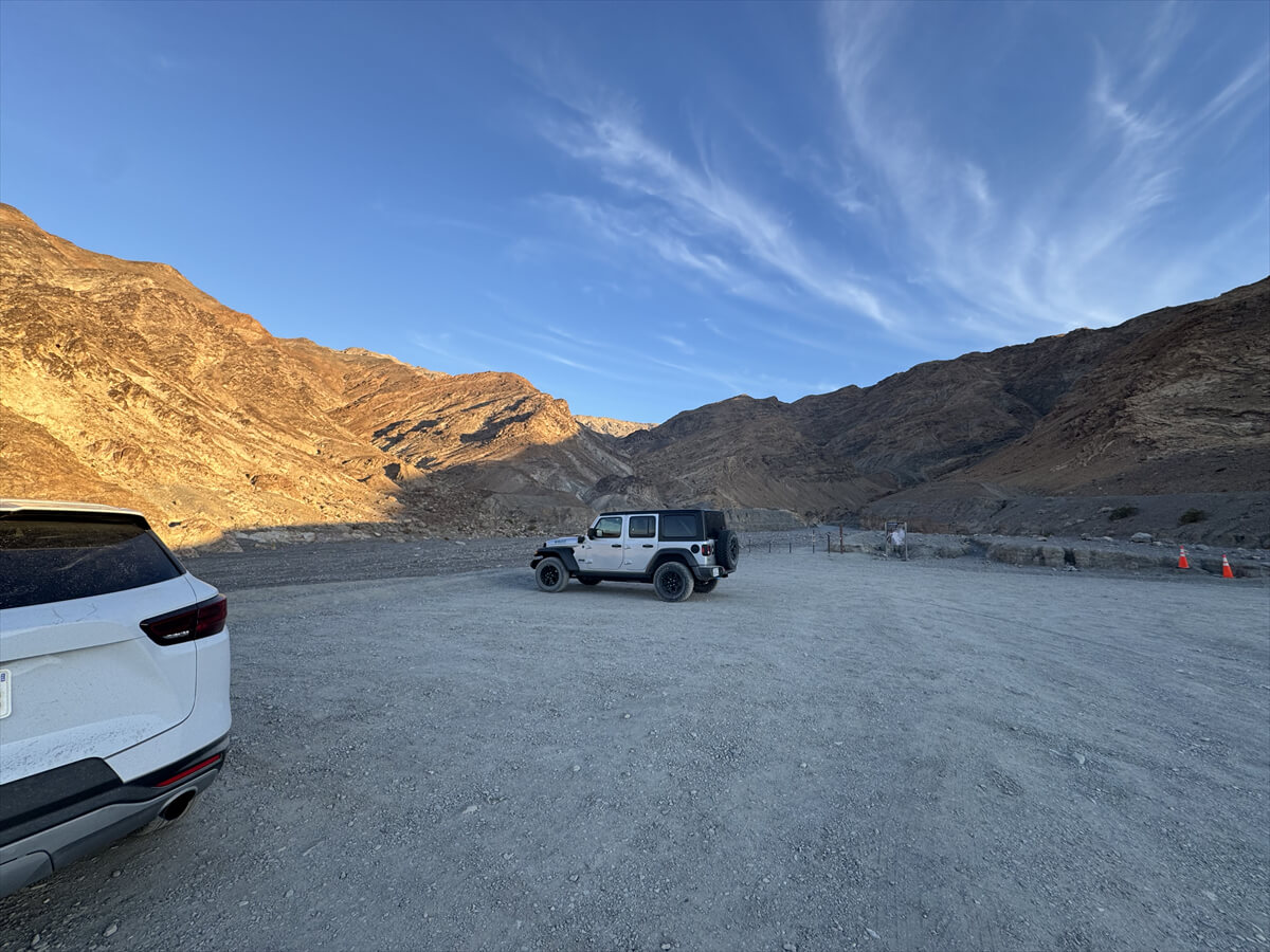
There were still a few cars in the parking lot
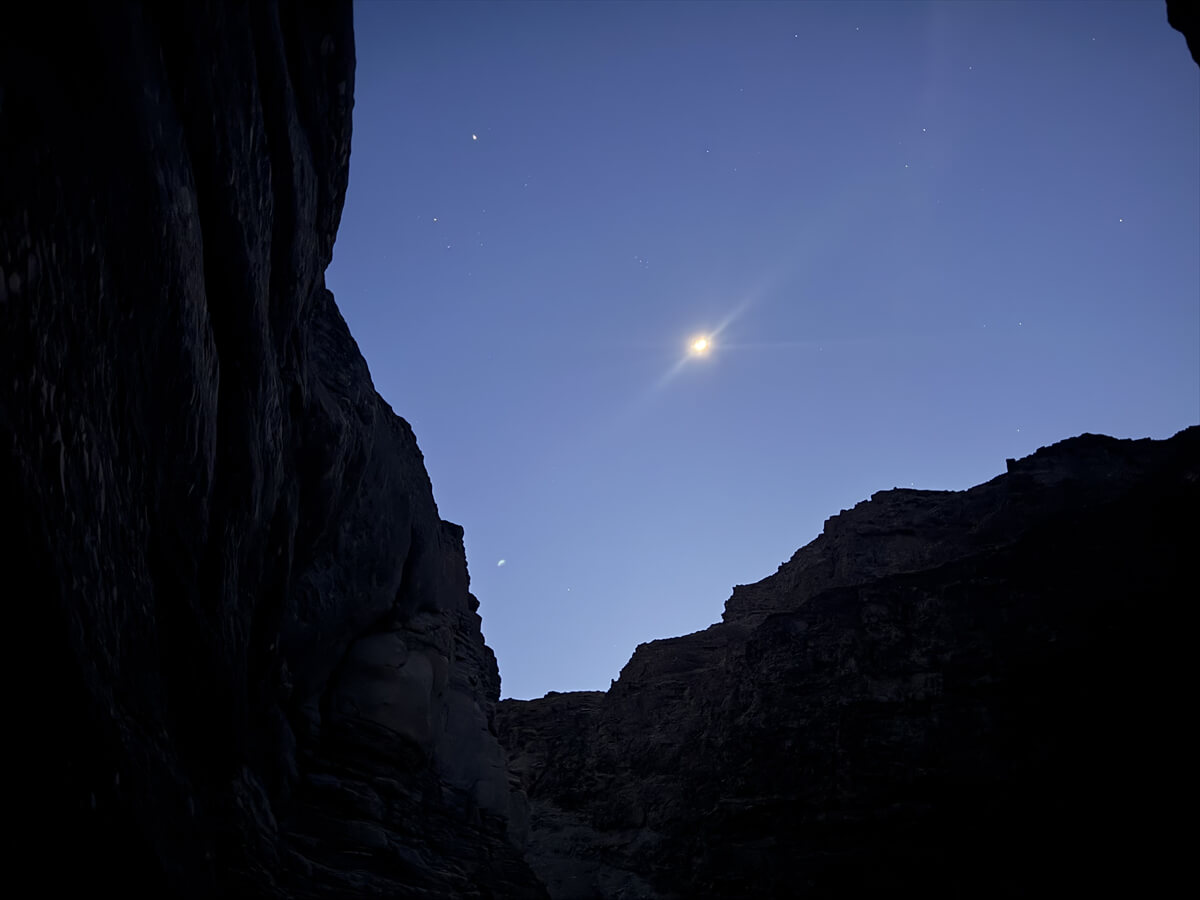
As it was close to sunset, there was a unique silence as the night turned, and the desert and rocky mountains bathed in the setting sun were a beautiful sight
First, start from the trailhead connected to the parking lot
The side that is not in the sunlight is surrounded by rocks and it is already dark. Watch your step!
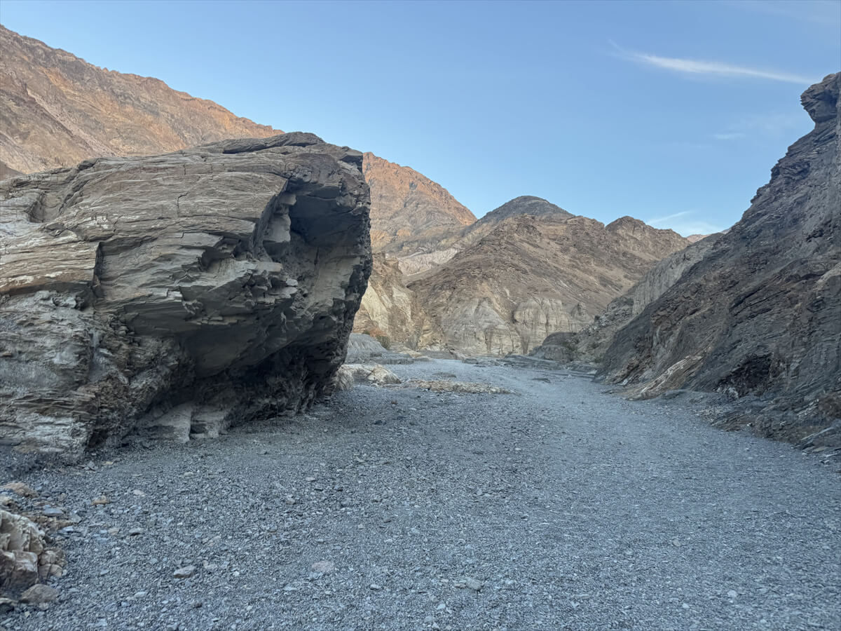
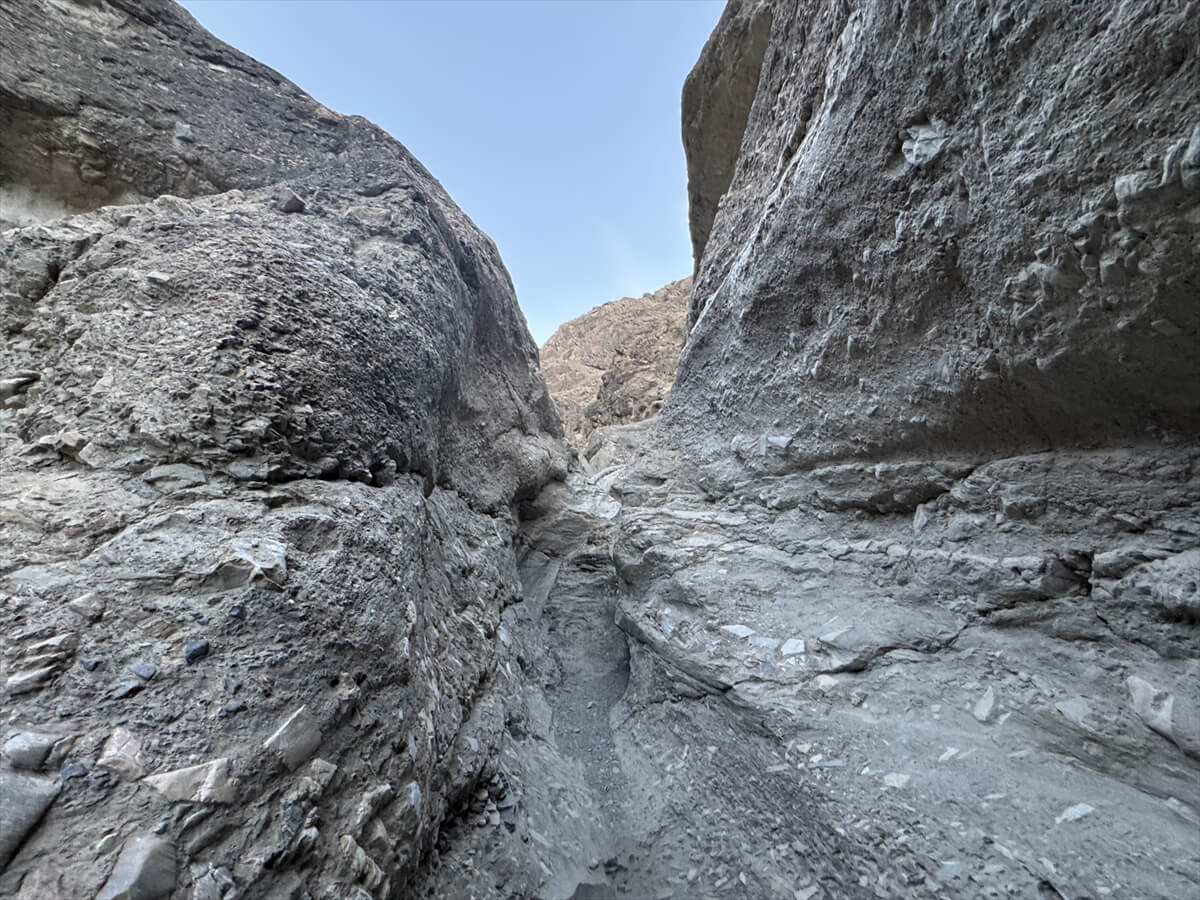
This is how we enter the rocky mountain from the trailhead
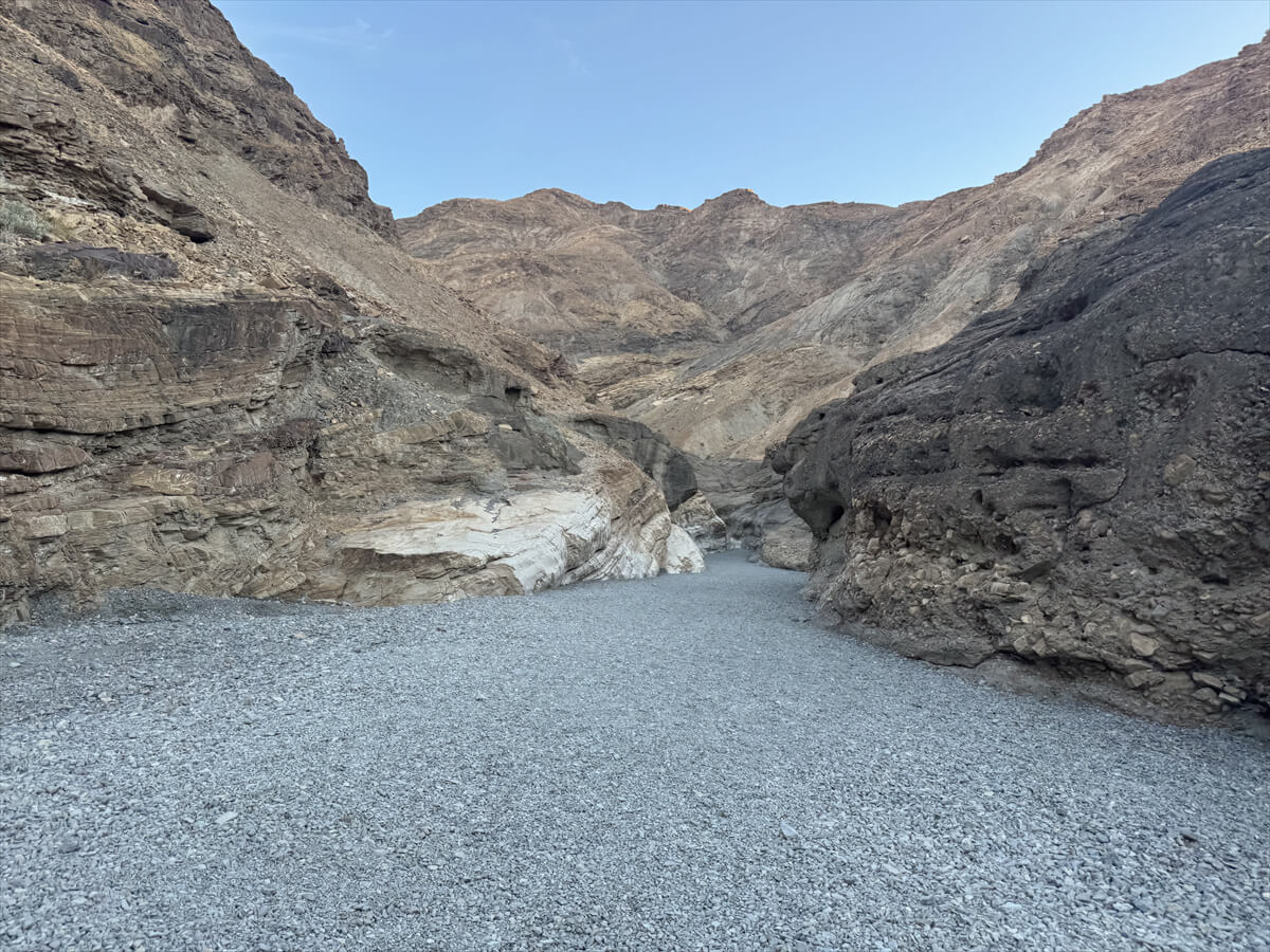
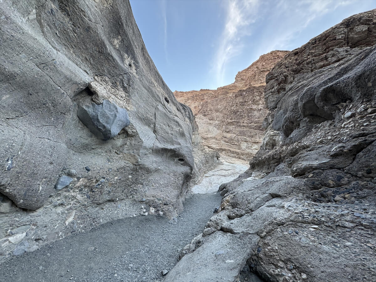
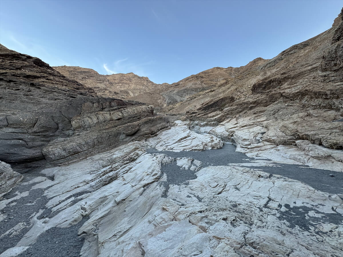
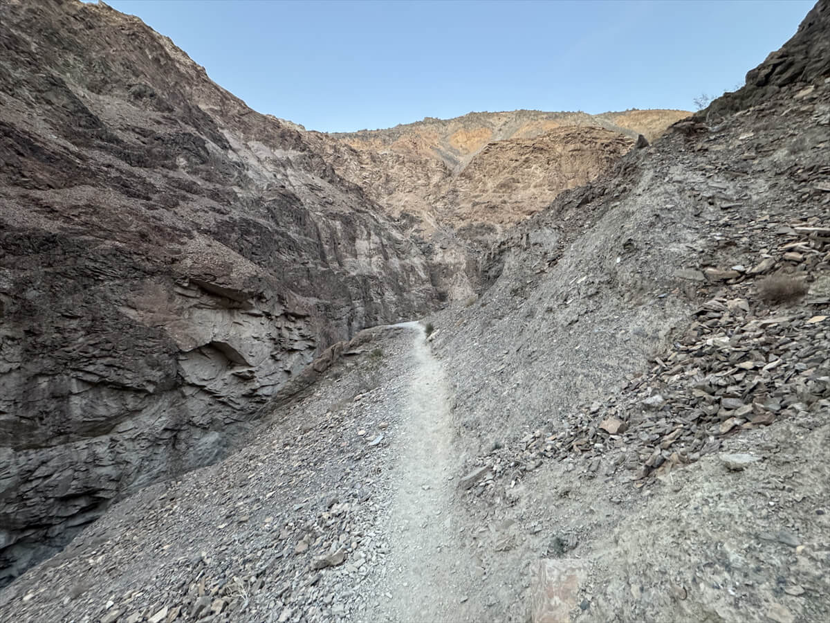
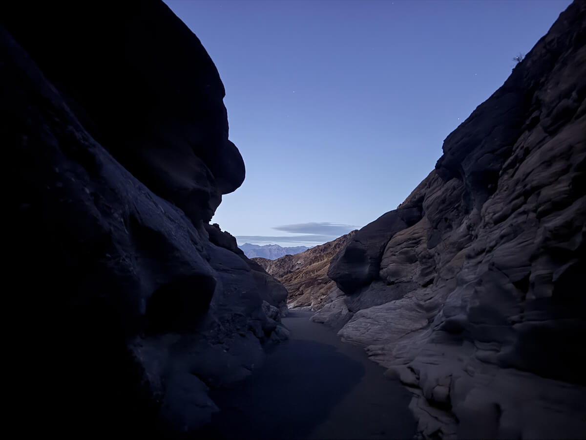
It's a good idea to wear hiking shoes as the gravel path is difficult to walk on. Immediately after the trailhead, you'll be greeted by a smooth, winding narrow passage like this
This type of landscape is common in other parts of the United States, including famous canyons such as Antelope Canyon, where flash floods occur frequently. These are sudden floods caused by torrential rain or sudden snowmelt. When large amounts of rain fall in a short period of time, the ground in dry areas such as deserts is unable to absorb the water, and the water flows out all at once. Flash floods usually occur within minutes to hours of rain, and can be extremely dangerous because the water level rises rapidly. There are few advance warning signs, and they can occur even when it is not raining, so it is important to check before walking in such areas
The fast-flowing and destructive water has worn away the surrounding rocks, creating these smoothly curved rock walls
The canyon's narrow passages are characterized by terrain smoothed and scrubbed by the raging waters, laden with rocks and gravel
These places, which have been created over many years, are truly works of art by nature
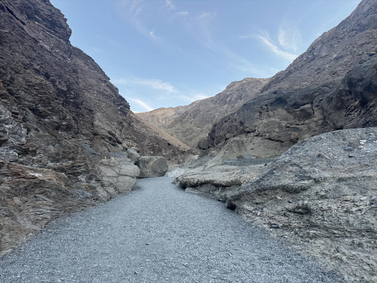
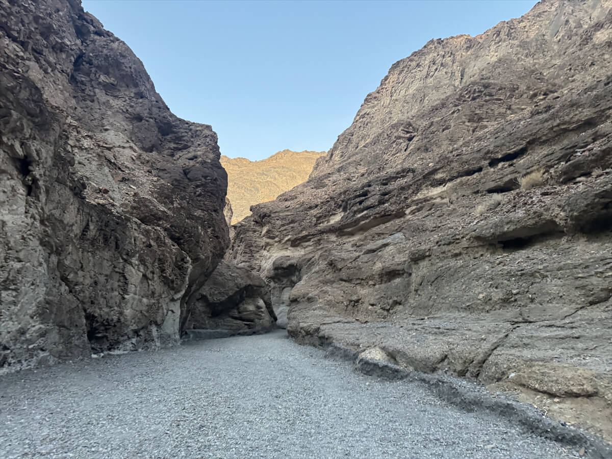
If you go further, you can see golden rocks shining in the setting sun in the distance
As you make your way through the canyon, look for the Mosaic Canyon Breccia that gives the canyon its name. Breccia is a type of rock formation formed by natural cementation of small, angular fragments of various types of host rock
How was Mosaic Breccia formed?
Crustal movement and erosion cause the original rocks to break down, and then earthquakes, fault movement, weathering, and other processes create rock fragments of various sizes
Broken rock fragments are carried into the canyon by flowing water, and when heavy rain or flash floods occur, the broken rock is washed down to the bottom of the canyon and collects. Water containing minerals then seeps into the gaps in the rock, bonding it together, and the limestone and silicon dioxide contained in the water act as an adhesive, solidifying the rock fragments. This process has been repeated over and over, and the canyon has been formed
The hardened rocks still retain the original rock fragments, creating a mosaic-like pattern, hence the trail's name
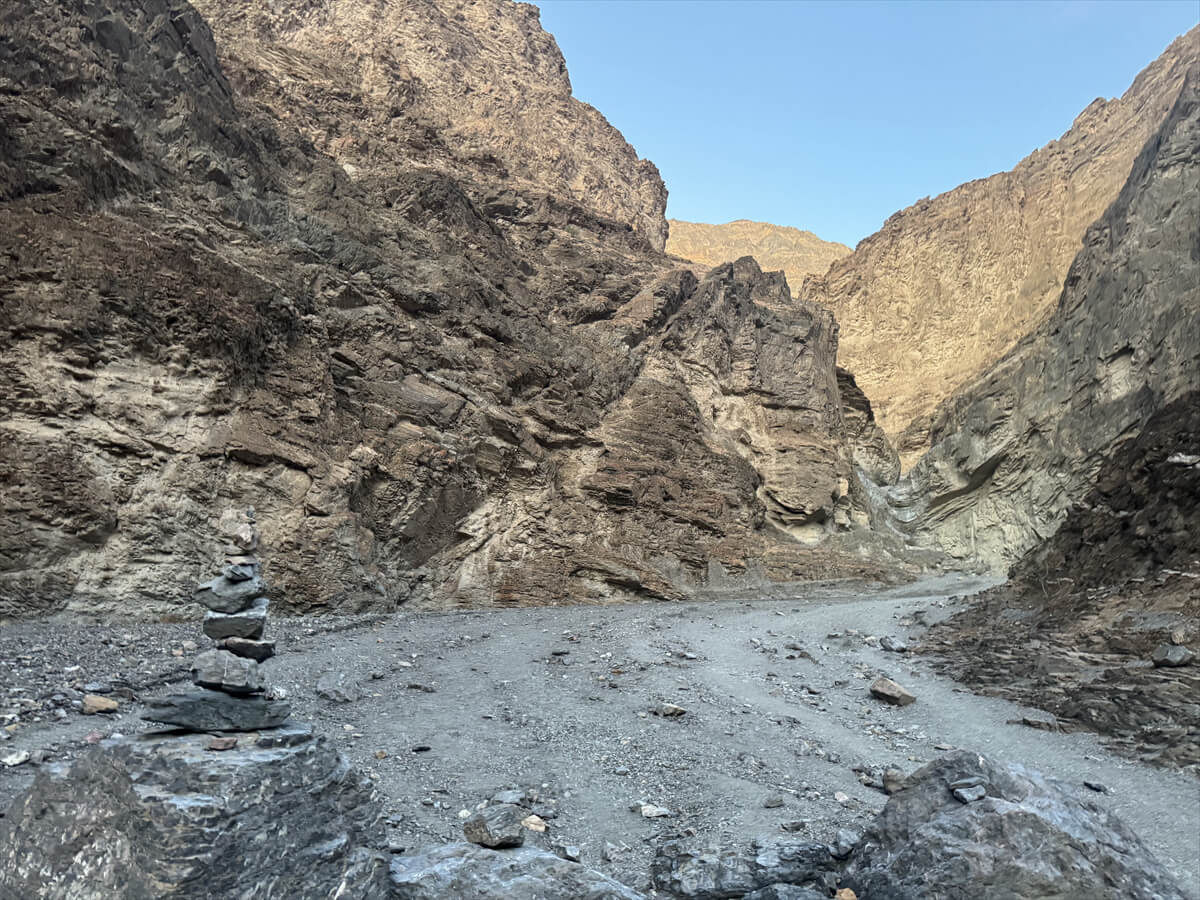
If you go further in, you will come across an area called Boulder Jam, where huge rocks are piled up and look insurmountable
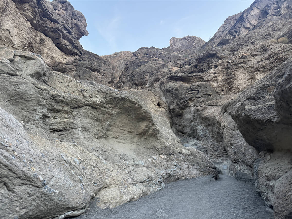
You can turn back here, but if you want to go further, you can go through the gap on the left (east) side of this rock and continue further
Further ahead you will come across narrow canyons like the Narrows, and there are difficult areas where you have to climb over rocky areas, but as you go further,
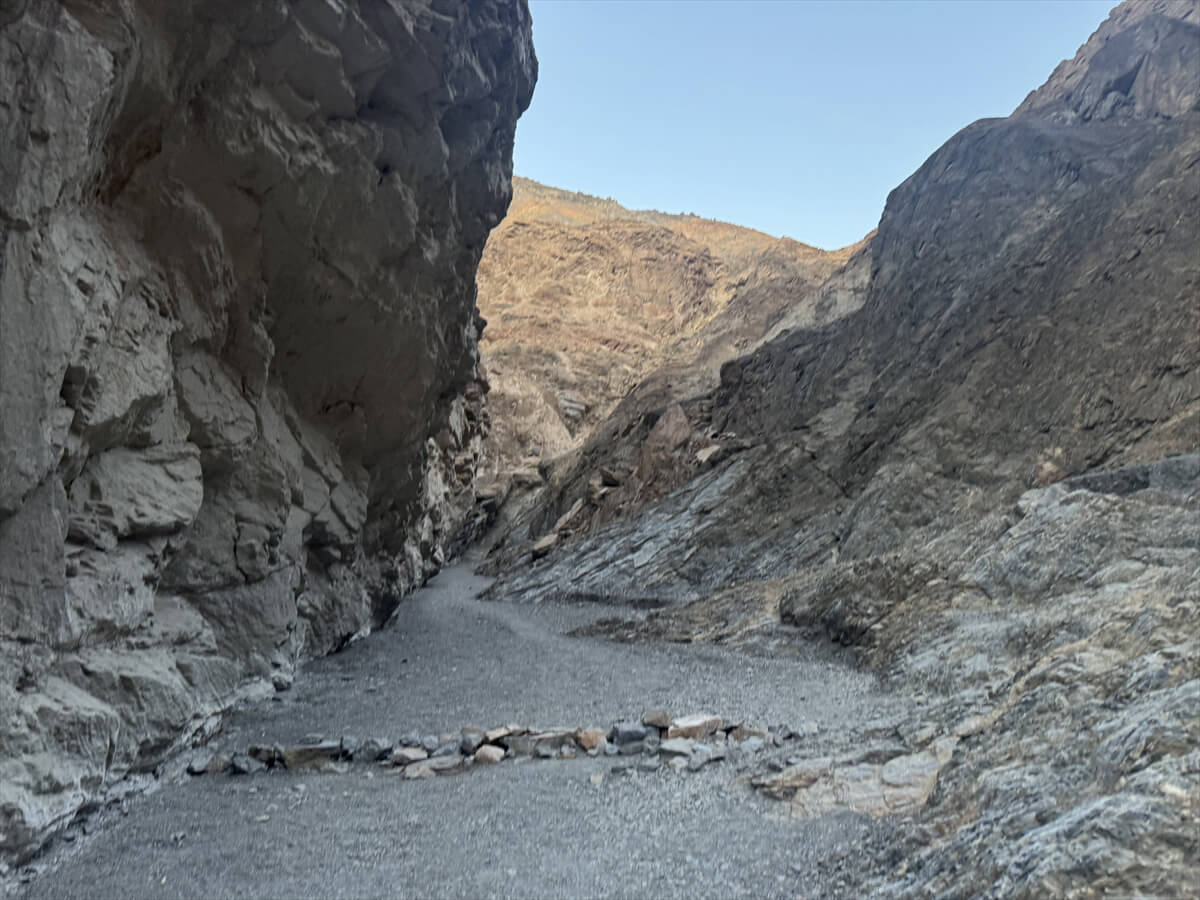
There's a dead-end sign made of pebbles, like this one. Eventually, we'll find ourselves completely blocked off by a 25-foot-tall, unclimbable drywall, so we instead take a trail that connects to the wall to the west (to the right). A well-established detour trail appears
That's why dead end signs are made out of pebbles, as shown in this photo
This trail continues up the canyon and then connects with the main route back up to the top of Dry Falls
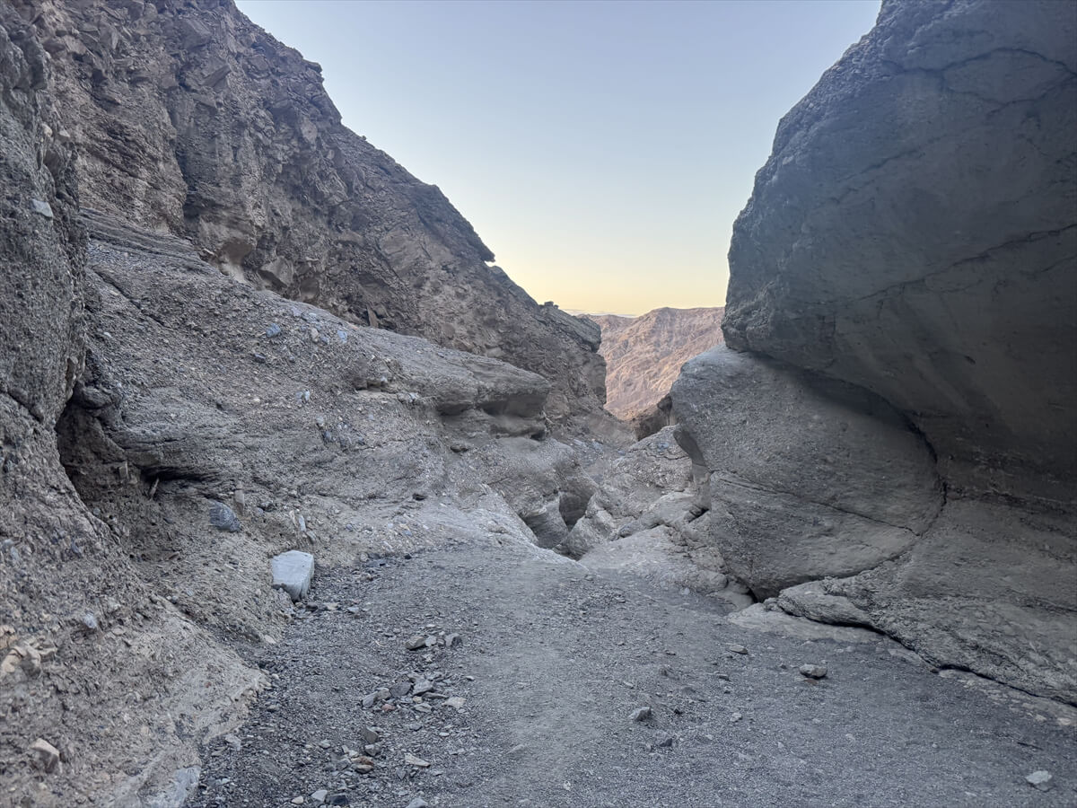
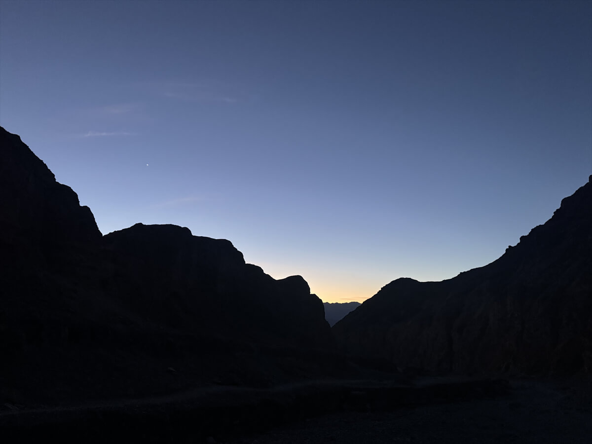
Going further into the canyon, you turn one final bend and emerge into a theatrical, spectacular landscape. This is the finish line
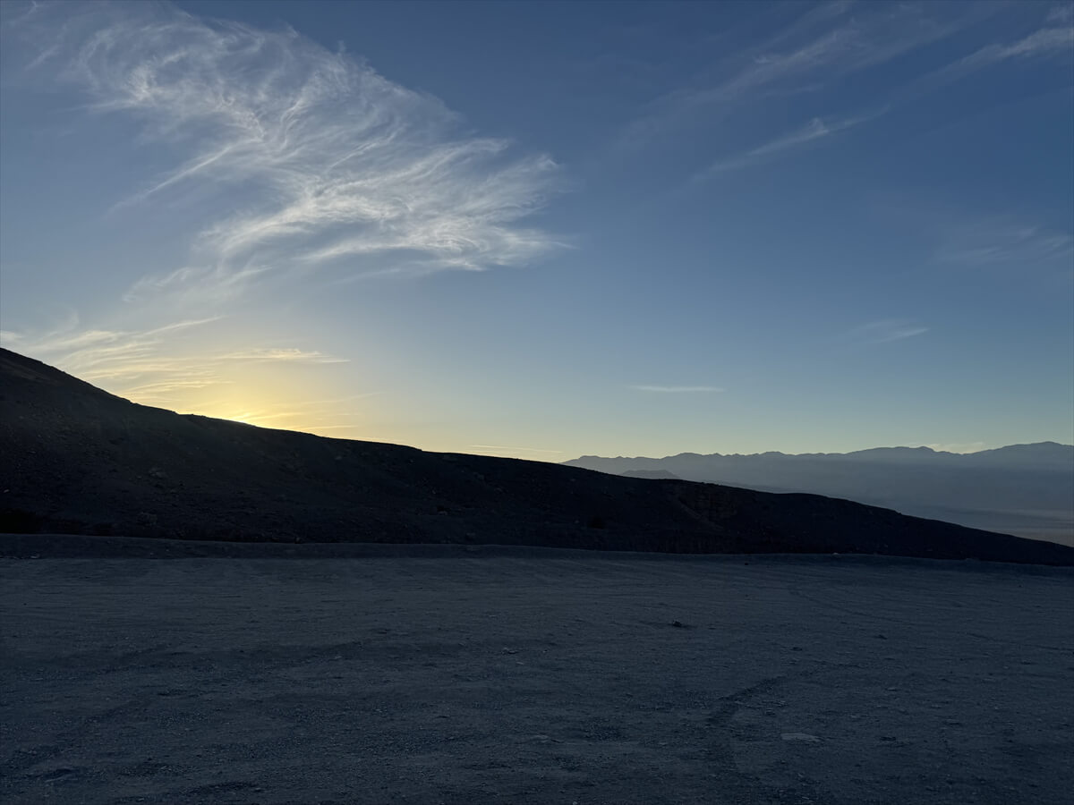
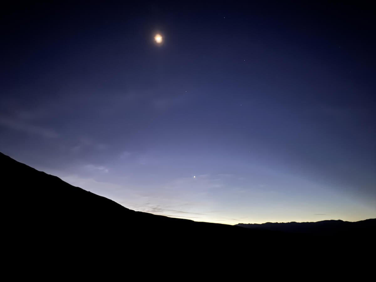
At this point, it was already 6 o'clock after sunset, so it was getting quite dark, but it might have looked even more spectacular if there had been daylight. Normally, we would take a break here and head back, but I decided to head back right away
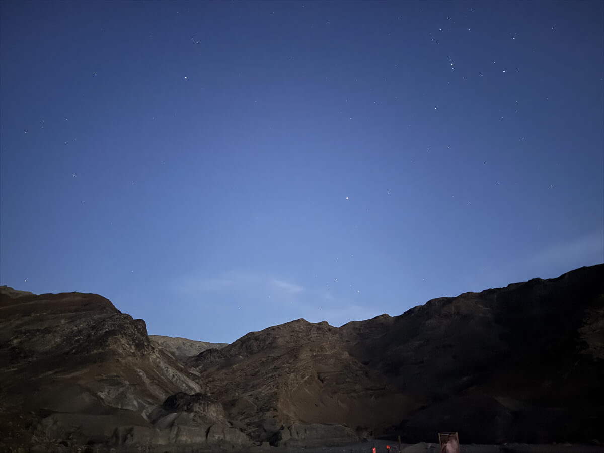
The twilight hike was also wonderful, and it was a very pleasant hike watching the stars gradually appear as the night fell and the silence settled in. We finished by returning to the parking lot at 6:30pm
There were no people around at that time, so we were able to enjoy a very quiet space surrounded by beautiful rock formations
Additional information about Death Valley National Park entrance fees
In a normal national park, there is a park ranger at the entrance gate, and you pay the entrance fee there before entering the park. However, in Death Valley, there are no rangers on duty even after passing through the entrance gate, so you will need to pay the entrance fee in one of the following ways
★Pay the Death Valley National Park entrance fee at the Furnace Creek Visitor Center inside the park.
★You can pay the entrance fee at kiosks located in various locations.
★Unmanned toll booths: There are unmanned toll booths along the main roads within the park, and you can pay the entrance fee at automatic ticket machines that accept credit cards.
It costs $30 per vehicle and is valid for seven days
Display of admission proof:
The receipt and entry certificate you receive after payment must be displayed in a visible place, such as on the dashboard of your car

The photo was taken at Furnace Creek Visitor Center in the morning in early March, but the temperature was already 23 degrees
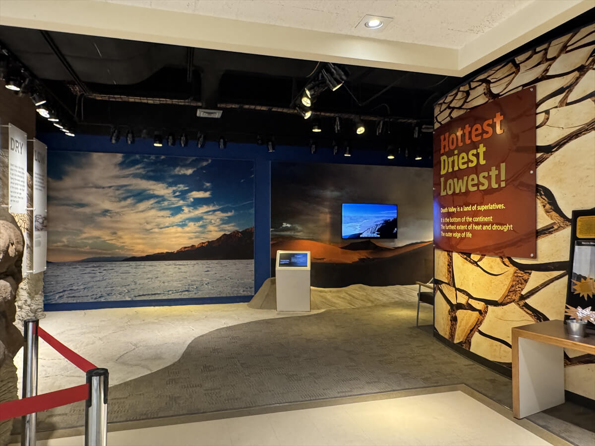
There is also a museum and a souvenir shop inside
There are also accommodation facilities within the park
Please come and visit California's desert park known as Death Valley
Sayaka Kato
 Leave your hiking and travel plans for California, including Yosemite National Park, to us. Influenced by my father, I've always loved outdoor activities, and while living in Japan, I started hiking and touring national parks, becoming fascinated by the natural beauty of America and Canada, which ultimately led me to my dream of visiting the United States. Currently, I run ANAMI TOURS, which offers local optional tours created together with clients, such as completely private hiking tours with Japanese guides. I'll introduce you to special options that I know only because I live in the area. If you're interested, please visit the website below
Please consider a paid membership to support the website while enjoying exclusive articles and events!
Related reading
 Castle Crags Trail: A tour of the majestic spires towering over the Mt. Shasta area [A trip to America's national parks (43)]
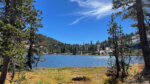 Cathedral Lakes Trail: A special trail to enjoy the quietness of Yosemite [I can't die without walking! A trip to America's National Parks (40)]
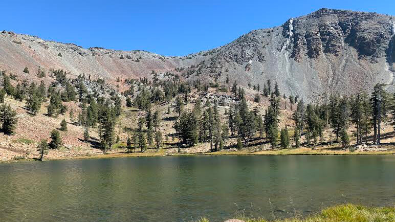 Can't die without walking? A Journey to the American National Parks (16) Flowers, greenery, lakes, and a panoramic view from the summit. Mount Shasta's magnificent peak, Mount Eddy Trail, has it all
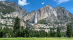 The Upper Yosemite Falls Trail: A spectacular trail packed with all the charms of Yosemite. [A trip to the American National Parks (41)]